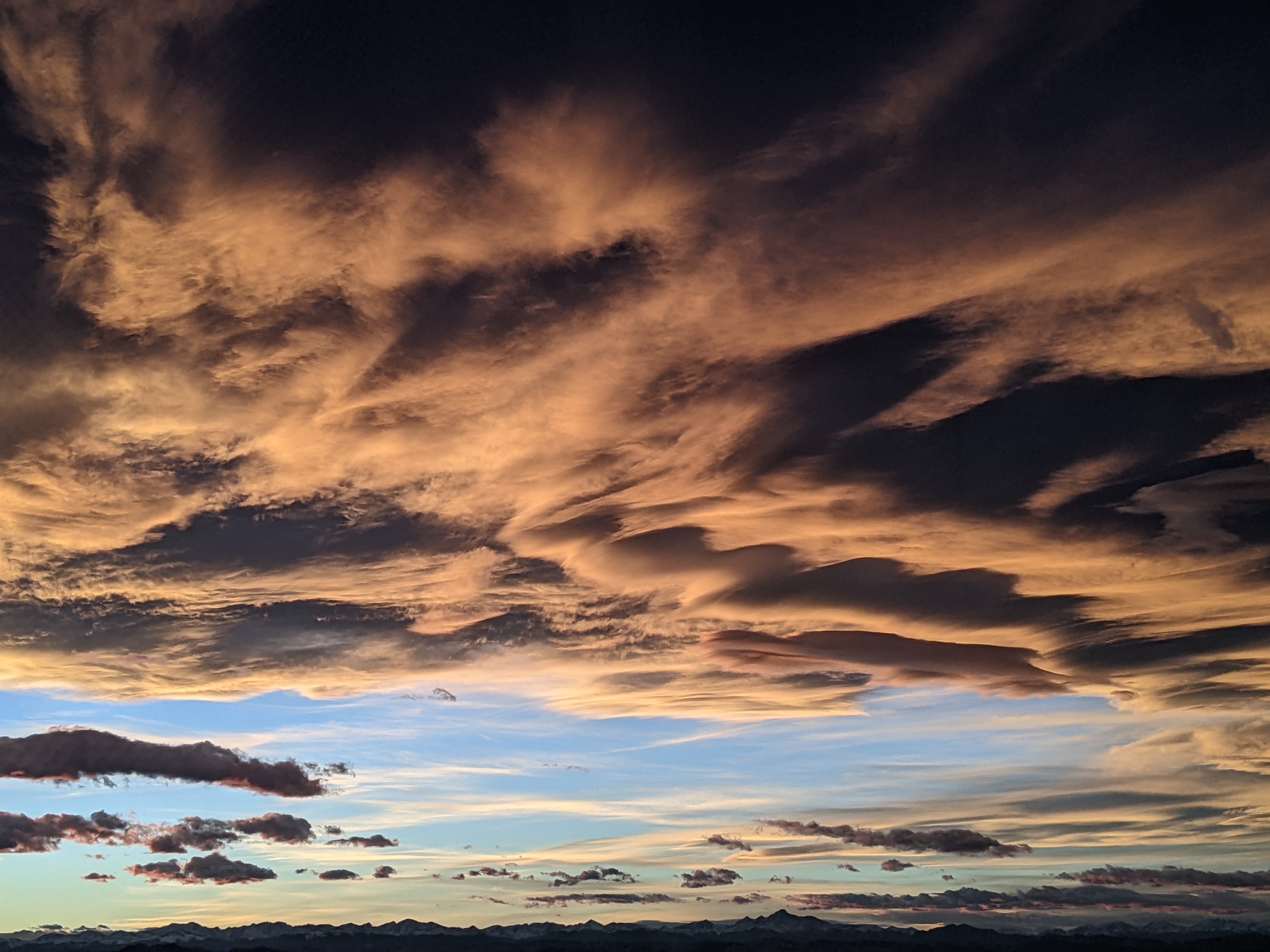
Storm on track for Tuesday and Wednesday
Monday, March 23, 2015
The storm advertised in last week’s blog is on track to deliver snow tonight and tomorrow night through Wednesday. There is a slight change in the forecast as the last wave timed for Wednesday night, though still cold, will be drier than originally predicted.
The atmosphere has destabilized ahead of the cold front currently moving through Utah, and any showers that form this afternoon will likely fall as liquid below 9500 feet or so. Upward forcing will increase just ahead of the front by late this afternoon, increasing showers and lowering snow levels until the front moves through around 6pm or so.
Rain will change to snow in the valley around sunset while moderate to sometimes heavy snow should fall on the hill. We should continue accumulating snow in the cool and moist northwest flow into the early morning hours before the snow decreases and becomes more showery during the day Tuesday. I would expect 3-6” on the Tuesday morning snow report.
Another wave bringing more snow is currently forecast to move across the area around sunset Tuesday, leaving another 3-6” on the hill by the Wednesday morning report. Conditions will remain unsettled and showery Wednesday before the last and coldest, but driest wave moves over the area Wednesday night. I expect accumulating snows to end by midnight, with 1-4” reported Thursday morning.
There may be some isolated snow showers in the cool and unstable airmass Thursday before a building ridge brings much warmer and dry weather for Friday into Saturday morning. Current forecasts have the northern portion of a splitting Pacific wave moving through the ridge by later Saturday, bringing some cooling, though showers are currently forecast to remain north of us.
The warmer southern portion of this split wave is then forecast to approach the area Sunday afternoon, increasing the chance of showers later in the day and into the evening and bringing another unsettled start to the next workweek.
Add comment
Fill out the form below to add your own comments


