Chance of precipitation Thu. / Fri. and again in about a week
Wednesday, March 11, 2015
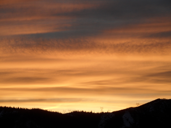
High clouds in advance of a spitting West Coast storm have invaded our area today as temperatures stay warm. The northern portion of the split storm will move eastward tonight and graze the northern half of Colorado tomorrow and Friday, bringing some cooling and the chance of light high-elevation snows. I expect only 1-4” of snow above 9000 feet from this system between Thursday and Friday afternoons before dry and warm weather returns for the weekend and the beginning of next week.
Interestingly, the southern portion of this storm is forecast to move south into the Baja area by this weekend and loiter for a few days before being nudged inland by another possible Pacific storm timed for mid-next week. As might be expected for a forecast a week away, there is a lot of uncertainty with not only the Pacific storm itself, but how it will interact with the West Coast ridge and the Baja low.
There is hope that an active pattern will return around mid-next week, though there is a lot of model disagreement on whether that will happen.


