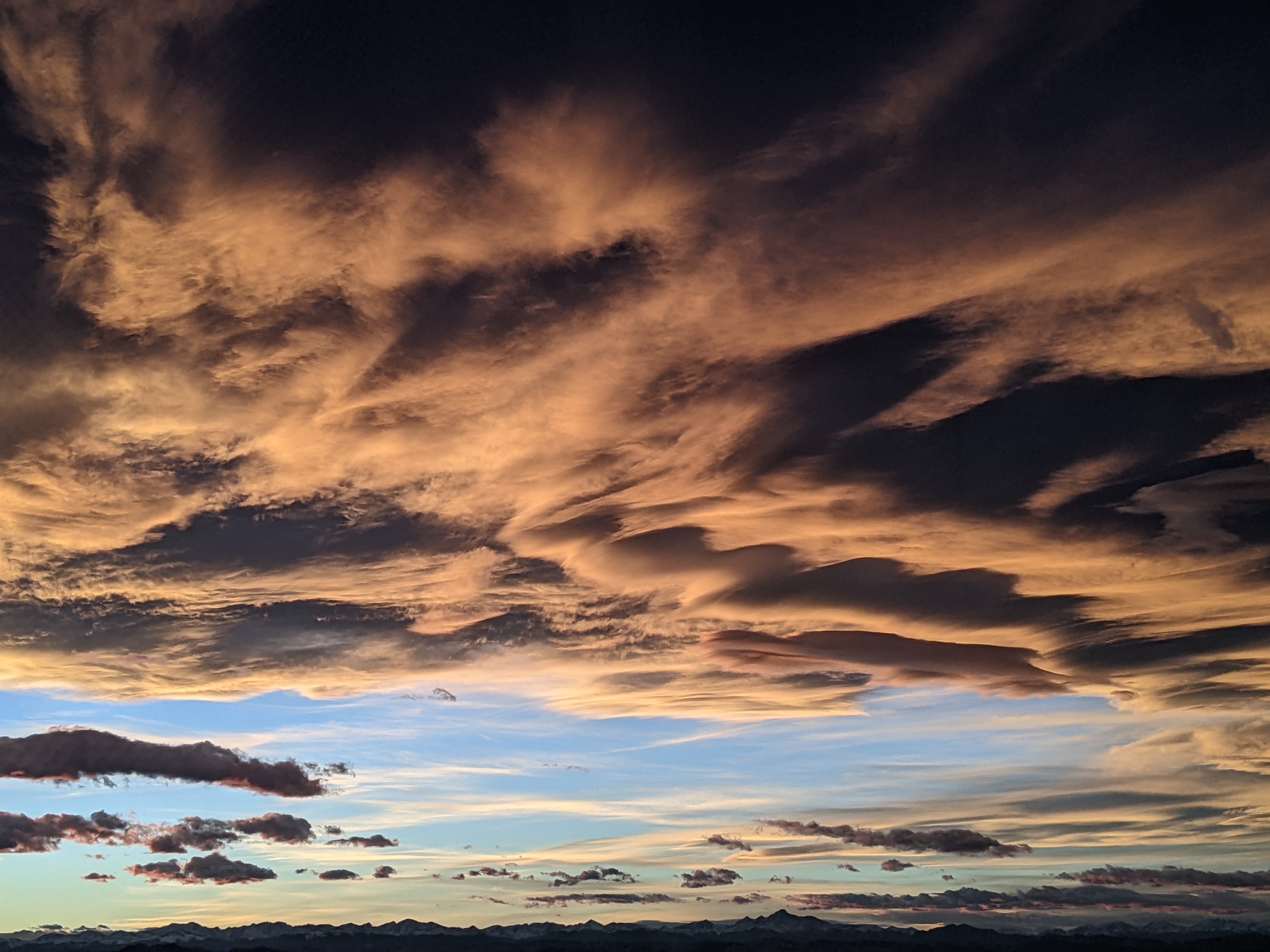
Unsettled weather for Sunday - Tuesday
Friday, January 9, 2015
Four weak and disorganized waves will conspire to end the current stretch of warm and sunny weather by this weekend and produce unsettled conditions lasting through the early part of next workweek.
The first wave currently along the California coast will bring in clouds during the day tomorrow and may produce light snow by later in the day or overnight, with showers possibly increasing during the day Sunday as the wave moves overhead. Quickly following this first wave are three additional waves originating in the central Pacific, the northern Pacific and the Canadian plains which currently are forecast to combine into a moderate storm located in the southwestern Great Basin.
Unfortunately, this storm is forecast to stay first southwest of northern Colorado and then south of us as the storm turns east early in the workweek. While southern parts of Colorado and northern New Mexico might do well, I am not optimistic that we will see significant snow amounts during this period, with showers Sunday through Tuesday producing snowfall amounts in the 1-4” range.
Models then forecast another warm and dry ridge for midweek that will last into next weekend and possibly early the following week. Both the American GFS and European ECMWF are predicting some sort of storm moving into the west coast behind this ridging, but the large discrepancies in the predicted storm track make the forecast very uncertain for then.
Add comment
Fill out the form below to add your own comments


