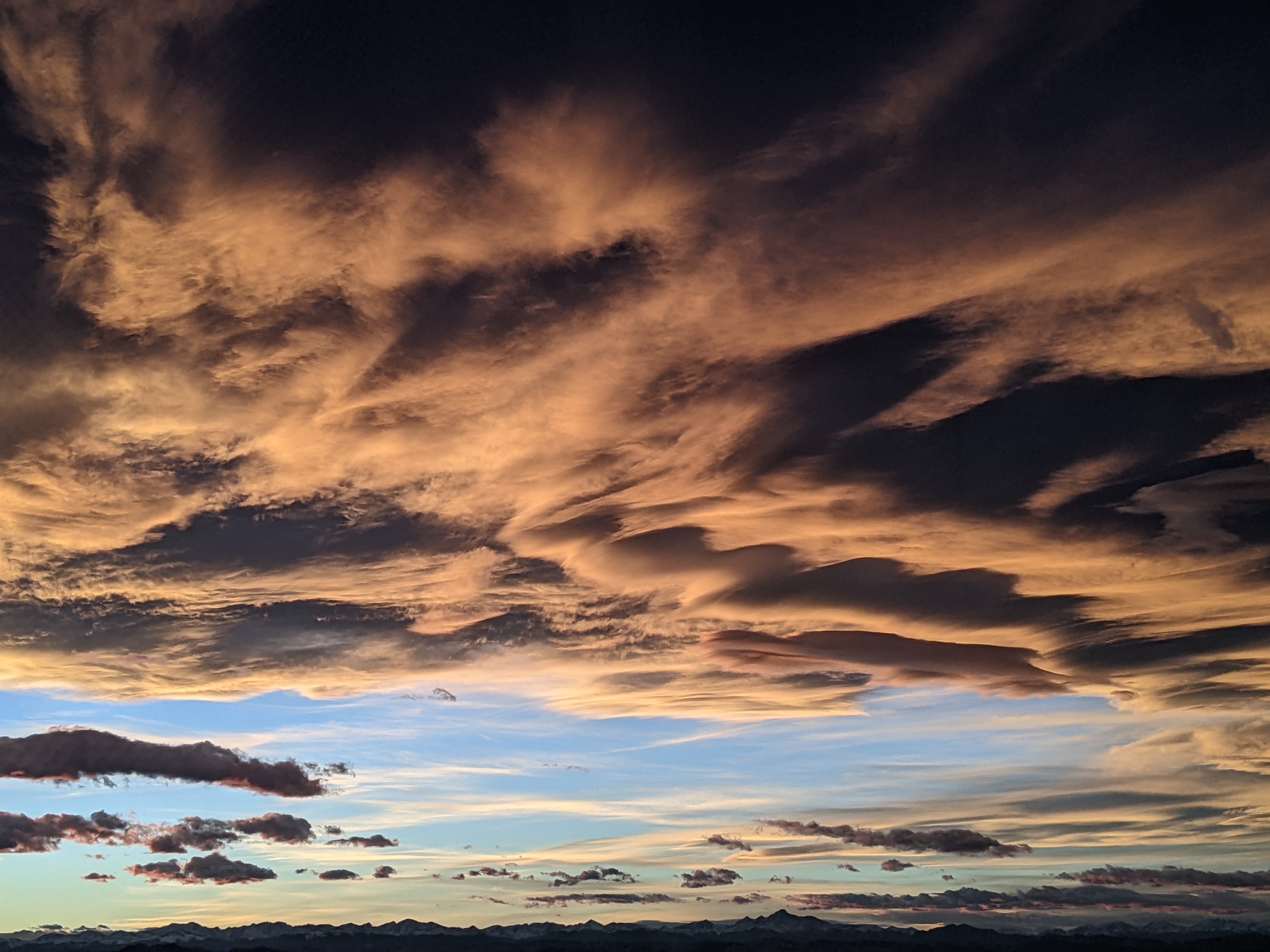
Snow showers today lead to warm and dry midweek
Monday, January 5, 2015
A ridge over the west coast combined with a reinvigorated Hudson Bay vortex has allowed Pacific energy riding over the ridge to mix with some cold Canadian air and produce the current snow showers. This also occurred over this past weekend when I predicted 5-10” of snow, but there was not enough mixing to bring the very cold air and the main part of the storm over us, thus the disappointing forecast.
Due to similar conditions today, I would only expect 2-4” of snow by tomorrow morning, and snow showers may continue for at least the morning on the hill, with sun likely in the valley by the afternoon. By Wednesday, mountain temperatures warm significantly under mostly sunny skies, though the valley will stay cool as a temperature inversion reforms due to the cold nights.
Warm weather and mostly sunny skies will last another day or two before all models are predicting a major pattern shift around this weekend as Pacific energy is forecast to break through the west coast ridge. There is a large amount of uncertainty with regards to exactly how that will happen, and those details will affect the weather over our region.
The American GFS forecast has some Pacific energy undercutting the ridge and combining with some moderately cold air from Canada to produce snow showers by Saturday, with unsettled weather continuing though at least the early part of the workweek. The European ECMWF keeps this ridge stronger and the undercutting Pacific energy weaker, producing benign unsettled weather for the weekend. I expect the forecast will change as models get a better handle on how the west coast ridge breaks down.
Add comment
Fill out the form below to add your own comments


