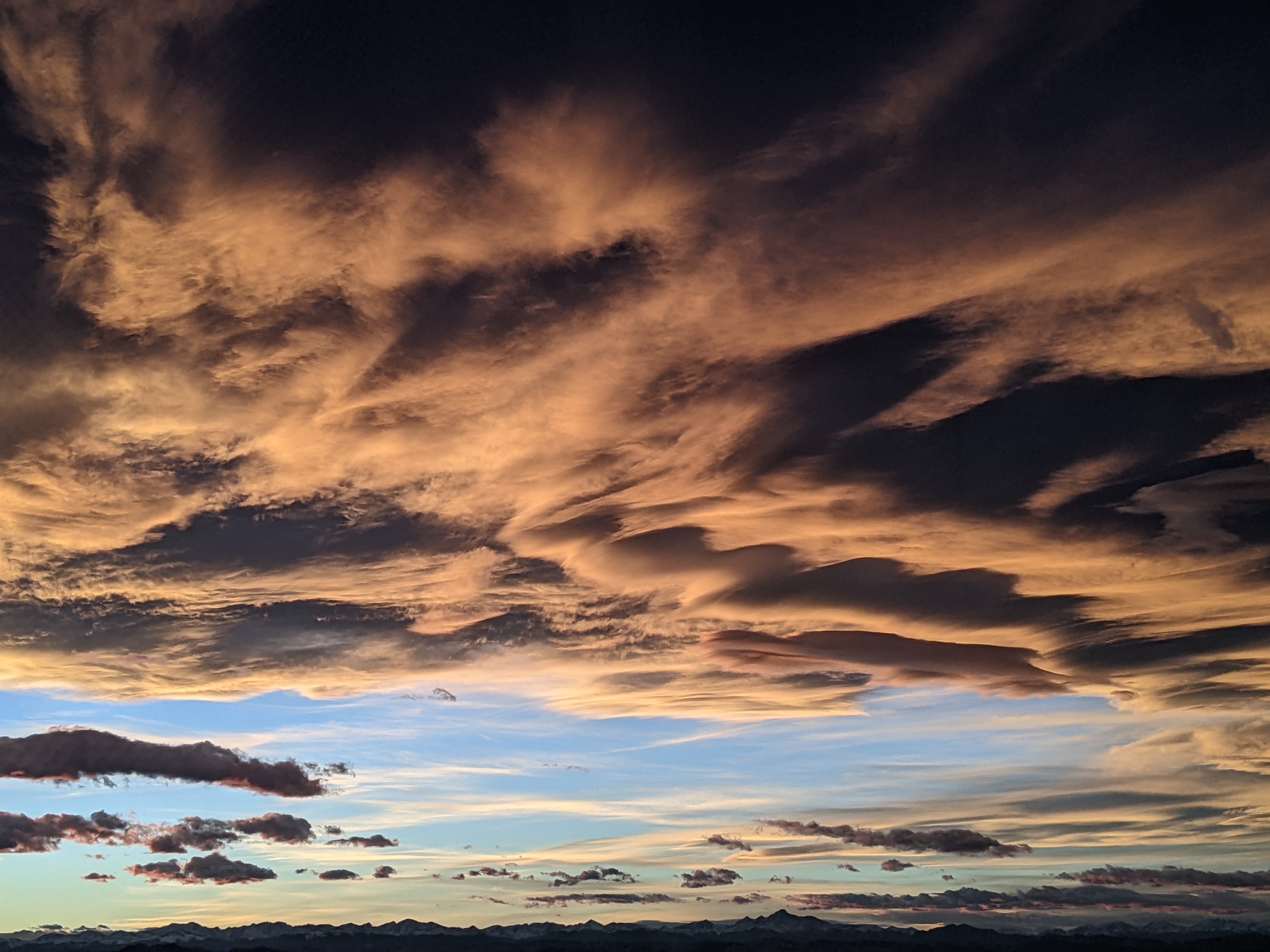
Continued dry and warm until mid-weekend
Monday, December 8, 2014
The current warm and dry pattern will persist through this week. The weak storm for tomorrow mentioned in last week’s forecast will indeed remain to our north and will bring only high clouds to the area.
The next chance of any weather will be mid-weekend as a very strong and warm Pacific storm brings copious moisture to California. Clouds should increase over our area on Saturday, but the storm is forecast to split as it enters the Great Basin, as indicated in last week’s ensemble forecast.
When meteorologists look for clarity in the longer term, the ensemble forecast provides an indication of possible future states of the atmosphere. Basically, a model is initialized with slightly different initial conditions, which can be considered to be the result of small measurement errors. A number of model runs produce an ensemble forecast, and the hope is that the future state of the atmosphere will fall within the range of predicted solutions. Furthermore, the amount of spread between the solutions is representative of the uncertainty of the forecast.
So, even though the operational models last week indicated a big storm for this coming weekend, the ensemble members indicated a possible split in the storm that grew more likely as the week progressed. And, in fact, the operational models are now predicting a split storm that will produce only fair amounts of snow for our area.
There is some cool air associated with the storm, and winds should briefly turn to the northwest behind the front, but this does not look like a big snow producer. Current forecasts have precipitation starting later Saturday and peaking overnight, with snows tapering off during the day Sunday. If I had to guess today, I would expect 3-6” by Sunday afternoon.
There is considerable model disagreement after next weekend as the European ECMWF keeps energy off the west coast and builds a ridge over our area, while the American GFS moves this energy over our area by midweek.


