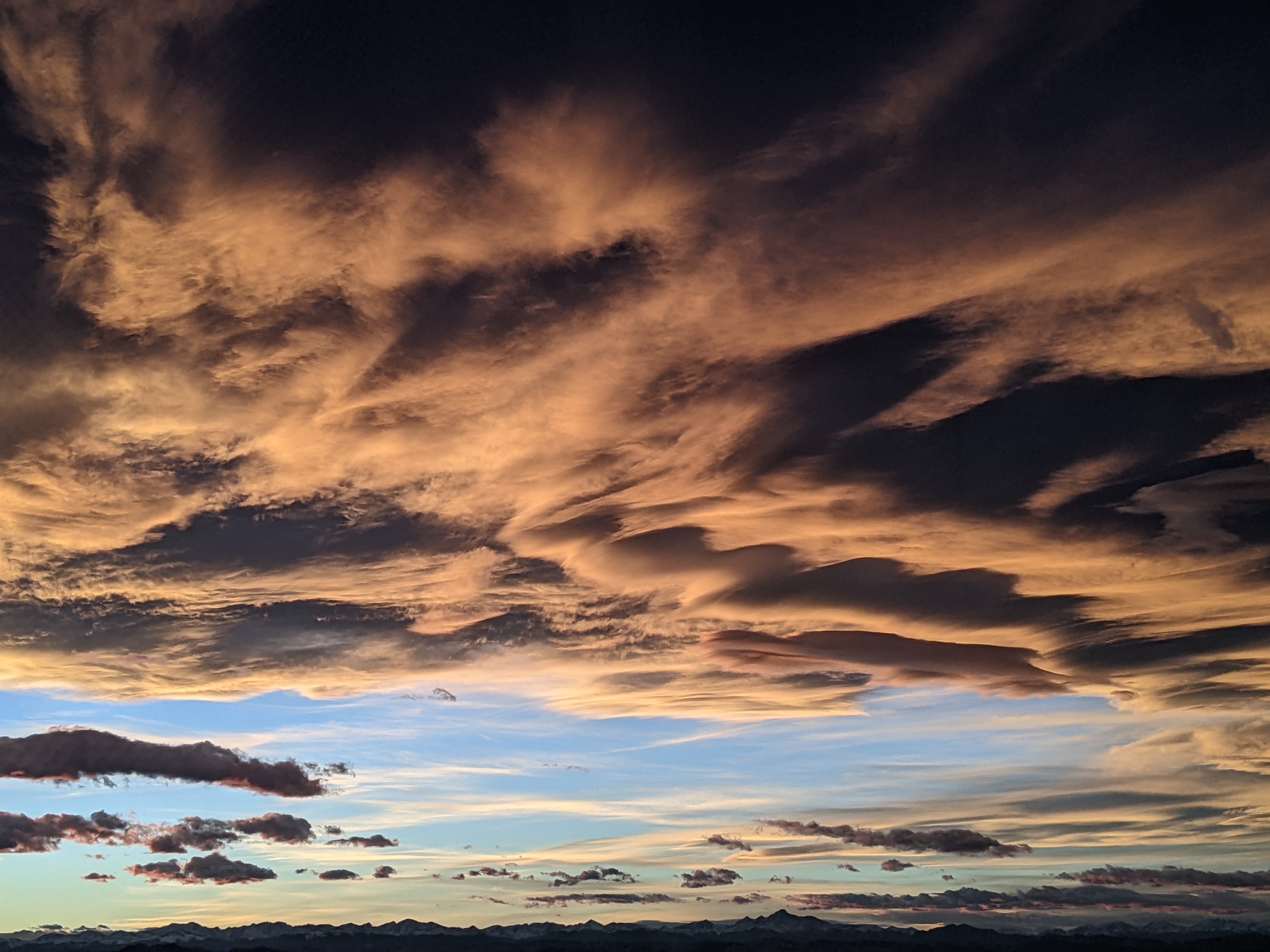
Rain likely today and tomorrow with decreasing chances through the weekend
Thursday, July 24, 2014
A moist monsoonal moisture plume has invaded our area over the last 24 hours which will increase the threat of rain and make it likely, especially for today and possibly for tomorrow as well. Coincidentally, an upper level low currently along the northwest US - Canadian border has flattened the summertime ridge over the Rocky Mountains and will provide further energy for organized storms, especially tomorrow afternoon, with some of these storms possibly persisting in the evening before ending later that night.
This wave to our north will bring seasonably cooler temperatures to our region through the day on Saturday and especially for Sunday. Showers may occur Saturday though the cooler air forecast for Sunday may preclude shower development.
As the upper level low along the Canadian border continues its eastward progress, the western ridge rebuilds and drags another plume of monsoonal moisture northwards for Monday and Tuesday. Additionally this surge will be accompanied with some upper level lifting from the south which will substantially increase the chance of significant rains for those days.
There may be a break in the monsoonal pattern around midweek before it looks to become re-established for next weekend, though there is a fair bit of uncertainty in the model forecasts for that time period.
Add comment
Fill out the form below to add your own comments


