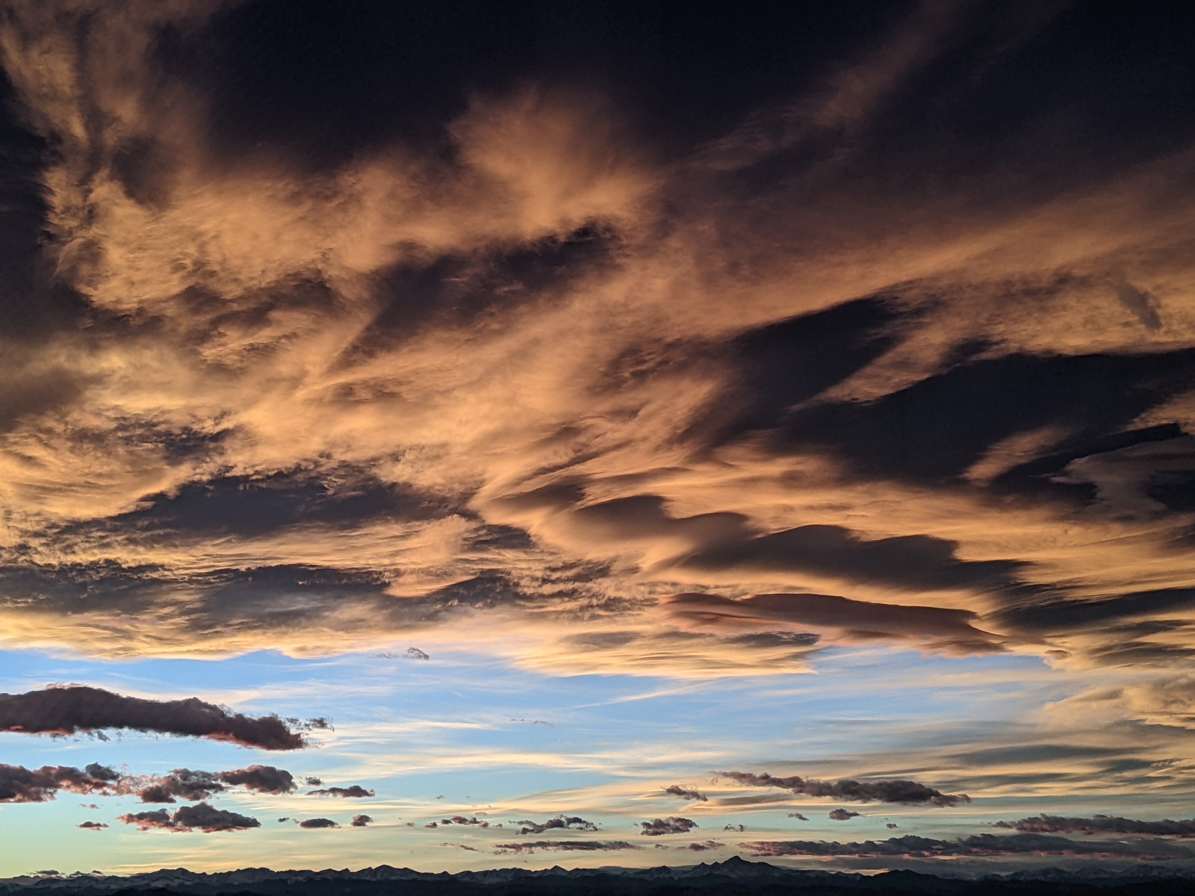
Current unsettled weather leads to major storm for Sunday
Thursday, May 8, 2014
An expanding ridge over Hudson Bay has pushed its eponymous vortex westward into the Canadian Plains, providing a source of cold air that has fed into today’s passing storm and produced non-accumulating snow showers in the Yampa valley this morning. This pool of cold air will again be drawn into the next storm currently making landfall in the Pacific northwest as it approaches our area, creating moderate to heavy precipitation by Sunday.
Until then, showers will continue today and increase towards sunset as the limited daytime heating continues to destabilize the atmosphere. A quick moving and low amplitude ridge should clear the showers later tonight and tomorrow morning before waves of energy ejecting out of the incoming storm allow showers to redevelop Friday afternoon.
Saturday may also start out relatively nice as breezy southwest flow moves over our area ahead of the advancing storm to our west. The cold front is predicted to move through our area Saturday afternoon or evening and will eventually bring significant precipitation to all of Colorado by Sunday. Any rain in the valley should turn to snow during the night as precipitation ramps up and continues at moderate to heavy levels during the day Sunday. Accumulations on the hill will likely be over a foot by Monday morning, especially at the higher elevations, though accumulations in the valley will be limited by warm ground temperatures and any small warming seen during daylight hours.
Monday will start quite chilly before additional waves of energy and cool air from the Hudson Bay vortex will regenerate much lighter showers by Monday afternoon. Earlier model runs had warming and drying by midweek, but as happened many times this year, we will be susceptible to continued showers and cool air surges during the workweek as waves rotate around the west side of the pesky Hudson Bay vortex.


