Storms for Wednesday and late Saturday through Tuesday
Tuesday, April 22, 2014
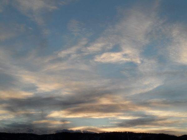
Two storms will affect our area in the following week, with clouds and moisture from the first storm currently overspreading our area. Showers will continue through the day today and grow heavier later this afternoon when surface temperatures are highest. The cold front associated with the first storm will bring rapidly falling temperatures and snow levels by early tomorrow, though accumulations at higher elevations will be modest at best due to the storm’s quick movement. Showers will persist in the seasonally cool and showery weather before clearing by later Wednesday ushers in a cool start to Thursday.
Thursday and Friday look to be warm and pleasant before the next colder, moister and generally far more impressive storm makes landfall on the west coast on Friday. Our area will be affected from Saturday through early next week as clouds and winds increase ahead of the storm on Saturday. A strong cold front brings sharply colder temperatures and precipitation by later Saturday afternoon or evening.
Sunday will be cool and showery before the storm is re-energized by an influx of cold air from the persistent Hudson Bay vortex on Monday, increasing showers and further lowering snow levels. There is model uncertainty as to how much cold air is dragged into the system, and this will determine how long the storm will be in our proximity and whether we see snow in the valleys. Mountain elevations, however, are likely to see significant snows. Current forecasts predict rapid warming and drying by midday Wednesday and lasting for a few days before more unsettled weather approaches our area in this very active and productive spring.
Add comment
Fill out the form below to add your own comments


