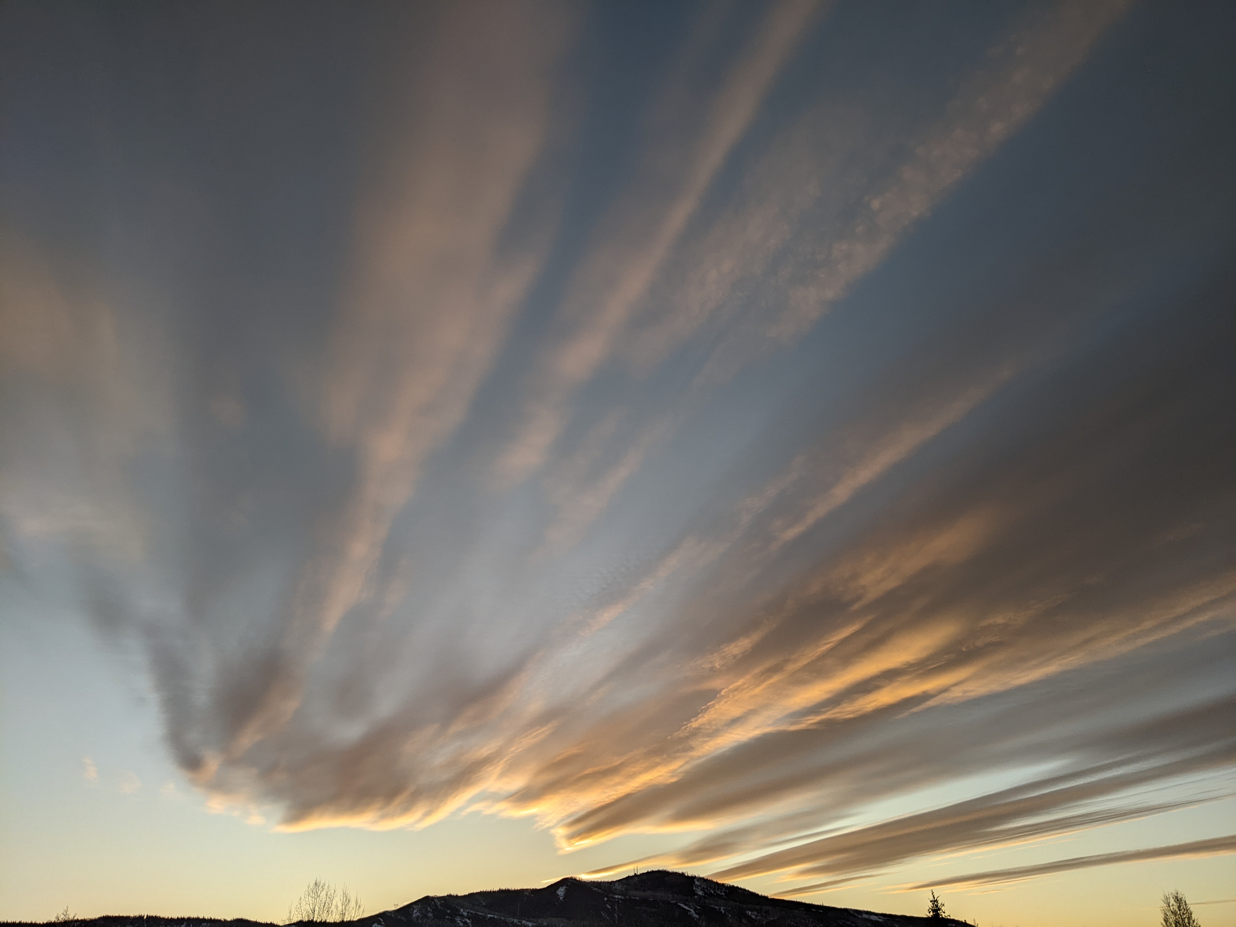
Some good skiing today followed by a week of unsettled weather
Monday, March 31, 2014
Though the powdercam at the top of Sunshine Peak read just under 4” at 5 am, the Steamboat ski area reported 6” mid / 7” up top for the morning report, and I measured 4” on my deck. I’m at a loss in explaining why the powdercam did not reflect the reported measurement since they are located in close proximity.
The snow on the upper mountain was wind affected, and the runs with a western aspect were inconsistent. However, areas protected from the wind skied creamy and bouncy, as the snow that fell last night was relatively dense.
Surprisingly, the best run I found on the front side of the hill was High Noon down to Rolex. High Noon had been recently groomed and there was a nice layer of fluff on top of a soft surface. And the snow had blown into the right side of Rolex, especially in the lower half of the run. There I found the 7” advertised on the report, and it was only lightly skied, probably due to the visibility being far less than optimal on the open runs. It was so good I did a five runs in a row before finally moving on!
Trees skied OK, but really any place you could find that was consistent skied great. And with that in mind, I was able to ski North St. Pats relatively early in my ski day, and was rewarded with an untracked line down the right side of the main pitch. Deep and steep bottomless turns were some of the best of the day, though there are only so many of them that can fit in the short pitch! I also found great deep snow on the Third Pitch out of Gate 3, though I would caution against venturing in that area without knowledge or guidance, especially since it involves some cliff bands and a 15 minute slog back to the ski area.
This storm will be quickly followed by a complex storm presently just off the coast of northern California that will turn our winds to the southwest by tonight. Several pieces of energy are forecast to be ejected over us in this relatively warm southwest flow even, as main low over California moves southward. Showers on Tuesday will likely remain as rain or a mix at lower elevations in the warming temperatures, though snow should occur above Thunderhead, and I would expect 1-4” to be reported by Wednesday morning.
This pattern persists for Wednesday, though showers will increase and snow levels fall a bit as the main storm moves eastward long the Utah - Arizona border. We will get some cooling on the back side of the storm by late Wednesday as it finally moves east of us, and I would expect around 3-6” by Thursday morning. Snows will likely continue Thursday morning before tapering off by the afternoon.
A transient ridge moves over Great Basin late Thursday / early Friday before another storm enters the west coast on Thursday. There is a fair bit of model uncertainty as to whether this system splits and to what degree, but it appears that this storm helps carve out a persistent trough over the Great Basin. This trough then keeps us in moist and cool northwest flow for a long-lasting snow event, possibly lasting through the weekend and into the next workweek.
Add comment
Fill out the form below to add your own comments


