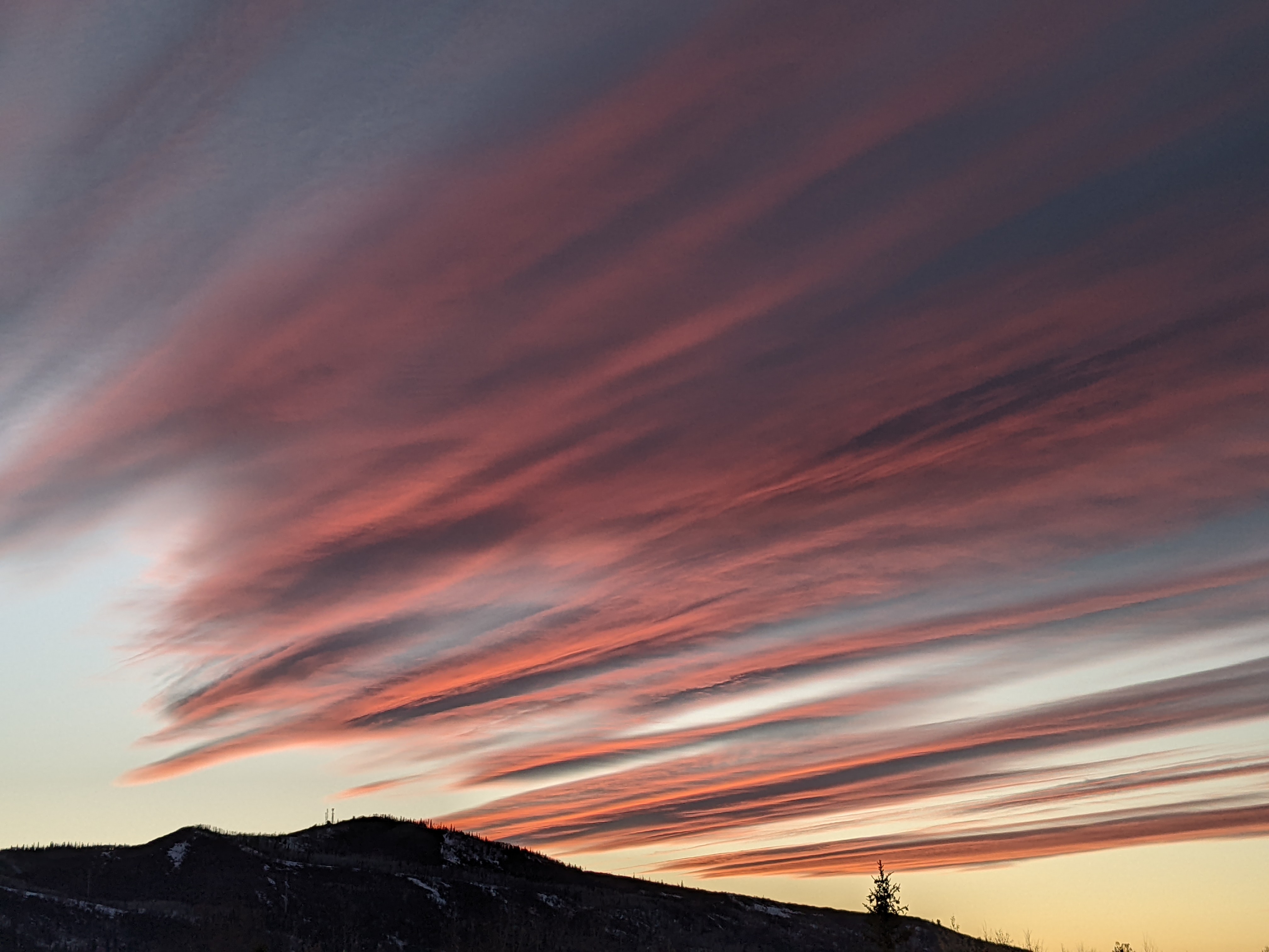
Storm for later Sunday followed by unsettled weather for the week
Saturday, March 29, 2014
After a beautiful sunny and warm day today, the weather changes Sunday in advance of the next storm. Southwest winds will increase late Sunday morning and afternoon before a moderately strong cold front moves across the area around sunset. We will likely have localized areas of moderate to heavy snow as the front moves through, with light to moderate showers continuing through Sunday night before decreasing and eventually ending by late Monday.
The storms this past Thursday and Friday produced snow at the low end of my forecast, though most of the other resorts in Colorado were at the high end. At this point, I suspect that the lower elevation of the ski area compared to the others may be handicapping our snow totals, and I will have to be more conservative with forecasts as temperatures continue to warm this spring. I would expect 2-5” from this storm by report time Monday morning, with another 1-3” during the day.
A large and organized low in the Gulf of Alaska will move west this weekend and begin to influence our weather soon after the Sunday system departs late Monday. Pieces of energy ejecting from the large system will produce showers for Tuesday and Tuesday night, but the forecast amounts are uncertain as there is disagreement on whether the system splits upon entering the west coast.
The European model keeps the system more coherent and would lead to greater forecast amounts, while the American model currently splits the system, taking most of the energy west and then south of us Wednesday. Unsettled weather will last through much of the work week nonetheless, as it appears the southern system will be close enough to impact our weather as it eventually moves east of us.
Add comment
Fill out the form below to add your own comments


