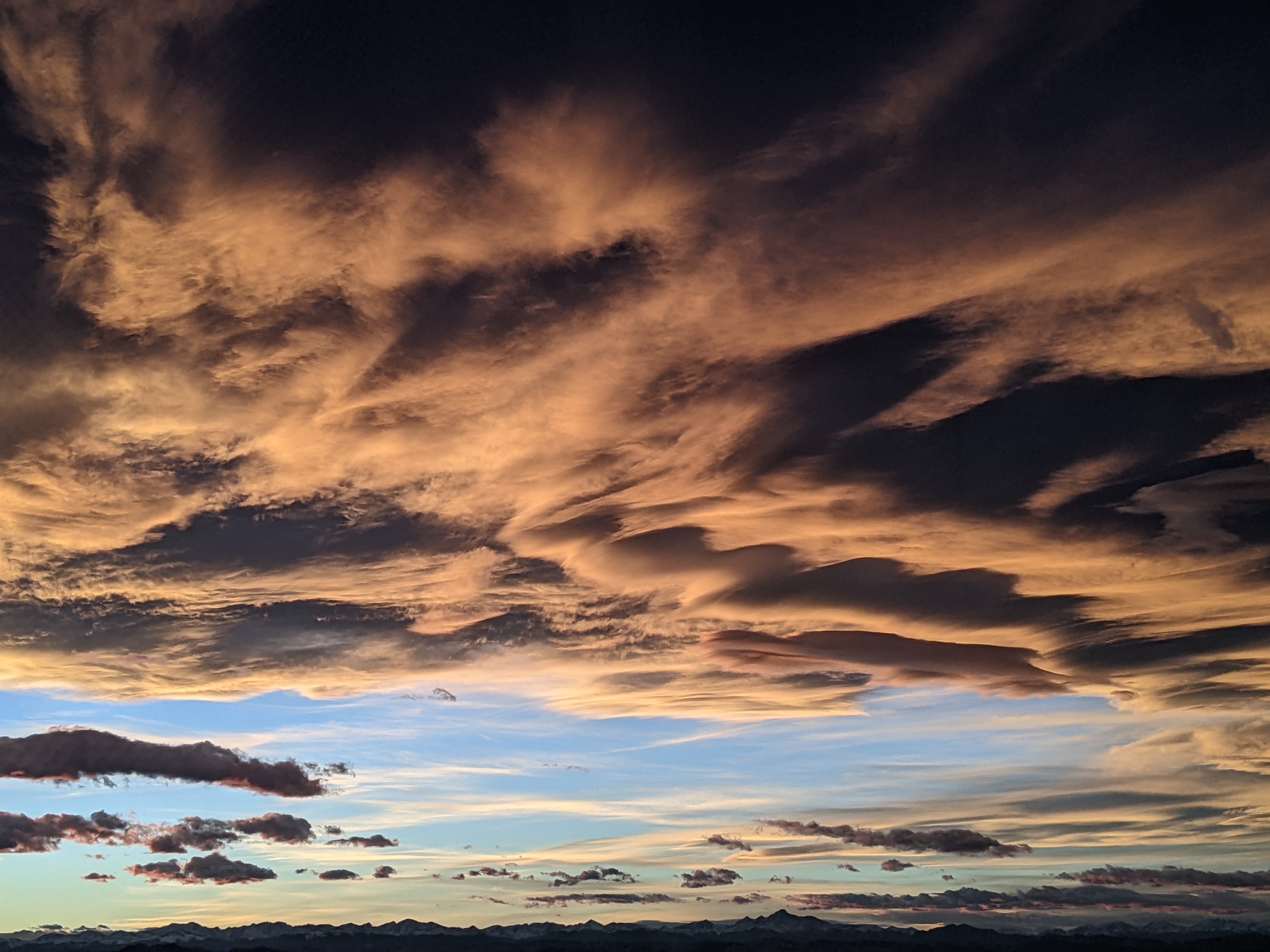
Active spring pattern continues as next storm starts Wednesday
Tuesday, March 25, 2014
A beautiful day today before 2 distinct waves influence our weather from Wednesday through Friday. An area of low pressure in the Gulf of Alaska is forecast to eject a wave that will first bring high cloudiness and then precipitation into our area on Wednesday. Temperatures will be warm with this first wave, and we may have rain in the valley and snow higher up on the hill later Wednesday before the valley rain turns to snow in the evening. Additionally, the atmosphere may be unstable enough to support thunder with these passing waves, especially Wednesday afternoon.
I would expect up to several inches of heavy snow on the hill by sunset, though the storm will intensify around then, keeping snows going through the night. The relatively warm storm will limit accumulations to 4-8” for the Thursday report before a break between the two storms appears Thursday morning.
This break will be short-lived as the second colder wave affects our area by Thursday afternoon. Moderate to heavy snows are expected by sunset and will continue past midnight. Though model forecasts diminish snows during the Friday morning hours, we may have some Steamboat Magic occur then, boosting snows after the 5-10” Friday morning report. A weak trailing wave passes over the area later Friday keeping lighter snows going through the day for an additional 2-4” before a transient ridge builds bringing warmer and drier weather moves over the area Saturday .
The nice weather Saturday gives way to another quick-moving wave for Sunday. Precipitation should be heaviest in the morning before decreasing in intensity during the afternoon and may last until midnight, with rain or a rain / snow mix in the valleys.
Another transient ridge brings nice weather for Monday of next week before another major storm begins affecting our area around Tuesday afternoon.
Add comment
Fill out the form below to add your own comments


