Snow later today through Wed. morning
Monday, March 17, 2014
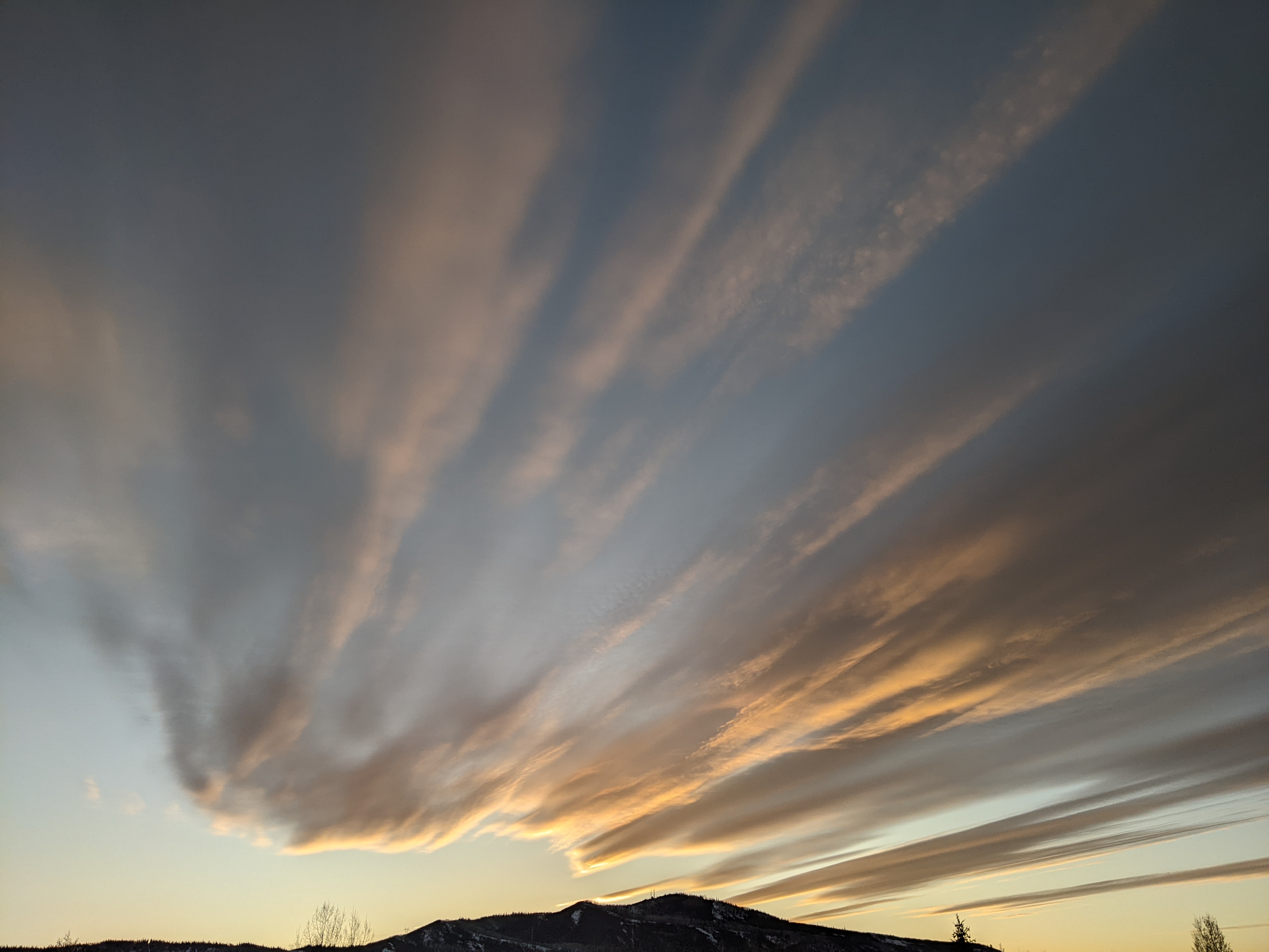
Clouds have overspread our area ahead of a strong cold front expected to pass through the area later this afternoon towards sunset. This system will bring sharply colder temperatures tonight and tomorrow, and snows lasting through Wednesday morning. Additionally, northwest winds will increase later today and likely last through much of the night, though the Steamboat ski area is fairly well protected from northwest flow. I would expect 2-4” by tomorrow morning and an additional 3-6” by Wednesday morning as a trailing wave passes over our area late Tuesday to keep snows going through the night. This storm may be similar to the one last Tuesday which produced outstanding skiing during the day.
Skies should clear later Wednesday and temperatures warm as a small ridge builds over our area. This pleasant weather should last into the weekend before a grazing wave to our north brings slightly cooler temperatures and some upward forcing to the region that might sustain showers later Saturday and possibly into Sunday.
Another ridge builds into our area after the weekend for a nice few days, but it appears March will go out like a lion as additional energy from the Pacific interacts with the still present and very cold Hudson Bay vortex.


