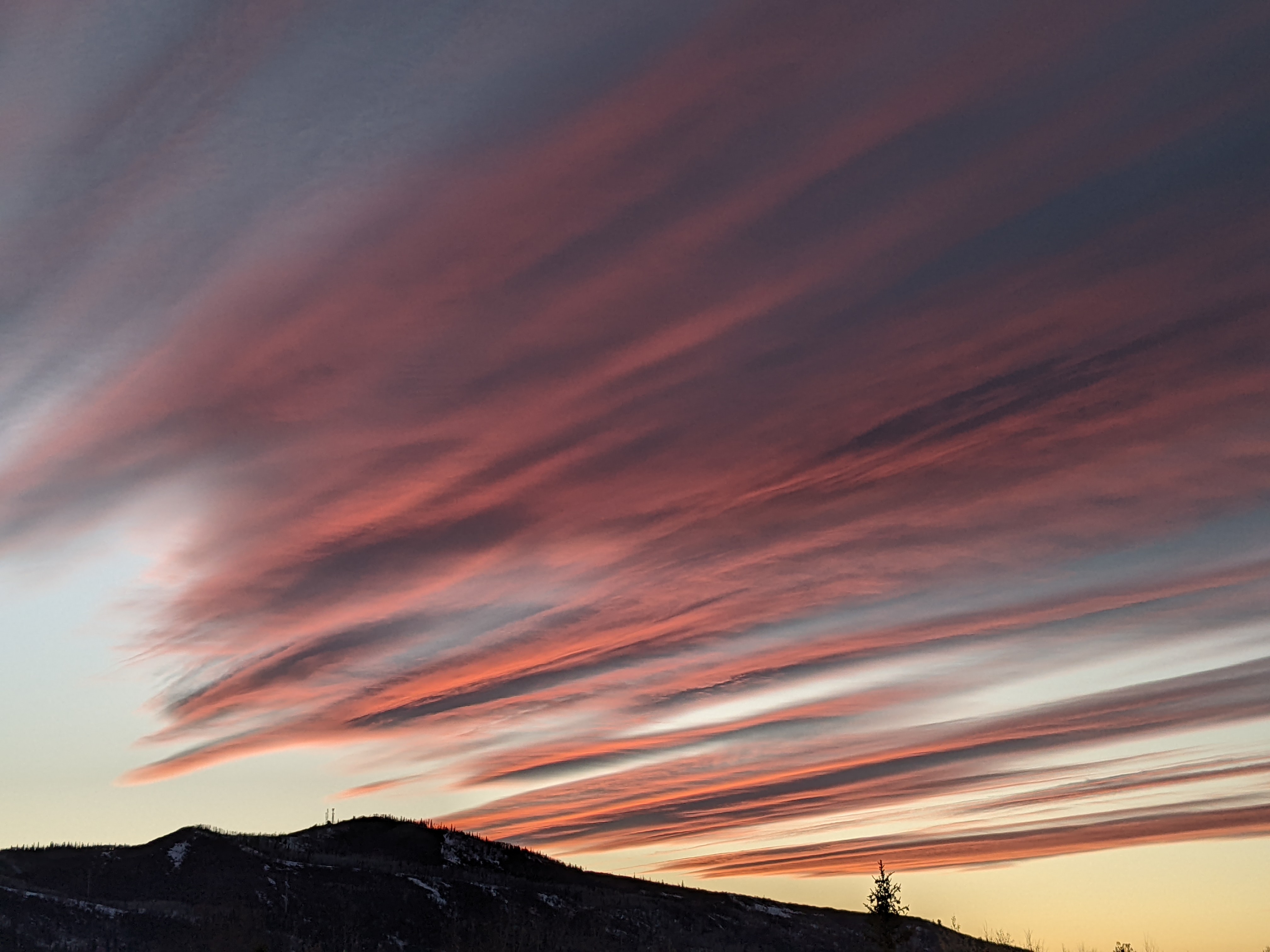
Snows for Saturday, Tuesday and likely next weekend
Thursday, March 13, 2014
A weak wave passes to our north today while the meandering piece of the previous storm to our south and west passes south of us tomorrow. Neither of these will significantly impact our weather, with slightly cooler temperatures today and perhaps some clouds later tonight or tomorrow.
I expect cooler temperatures and light snow most of the day Saturday as a relatively dry Pacific wave slides down the eastern side of the west coast ridge. Models have been trending further east with this wave which minimizes our snowfall; currently I expect maybe an inch for the Saturday morning report and 2-5” during the day which will be reported Sunday morning.
A cool start Sunday should give way to sunny and warm weather later in the day and lasting through noon Monday as the west coast ridge moves over our area. The American model has trended closer to the European model for a possibly significant storm starting Monday night and lasting through Tuesday.
A quick moving ridge will bring nice weather for midweek until another Pacific wave may affect us by the end of the workweek or weekend. Long term models have an unsettled period of weather commencing then and likely lasting for at least the rest of March.


