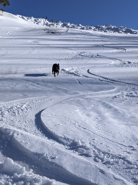
A break in our spring weather with snow and cold for Tuesday
Monday, March 10, 2014
After another spring-like day today, a splitting storm very similar to the one on Friday, but cooler, affects our area beginning around midnight tonight. Moderate snows are likely as the front barrels across the region very early Tuesday morning, with 2-4” expected by report time.
But the system splits around us as a wave traveling around the ever-present-for-this-winter Hudson Bay vortex drags a piece of the storm across the Continental Divide while leaving the remaining piece to meander westward to Utah and eventually Nevada. It does appear another piece of energy will keep lighter snows going until noon after which they become more showery before ending around sunset. I would expect another 2-4” during the very cool day which will be reported on the Wednesday morning report.
After a cool start Wednesday morning, a quick warm up lasting into Thursday is forecast as the west coast ridge tries to rebuild over our area. However, a Pacific wave traveling over this ridge will phase with the storm left to our south and west later Thursday forcing the complex east of the Continental Divide by Friday. Models initially had some precipitation from that Pacific wave for Friday, but current trends are pointing towards a dryer solution.
The ridge rebuilds for possibly another stellar weekend, but lots of uncertainty with the forecast for next week as more Pacific energy interacts with the west coast ridge.
Add comment
Fill out the form below to add your own comments


