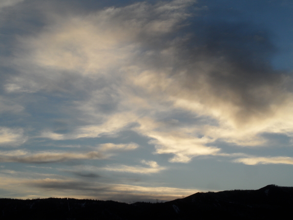
Storm for Friday moving a bit faster than earlier predicted
Wednesday, March 5, 2014
The Steamboat ski area reported 3” mid / 5” top this morning, though once again the 5am phone report was not available until the 9am update. This also happened on Jan. 1st, which was another Wednesday, and this points to snow reporter Kelly not doing his job!
I believe Laurie does the morning report Sunday - Tuesday, and she is excellent in providing consistent and timely reports. Kelly is responsible for midweek and Mike also is relatively consistent in his reports to finish out the week. But Kelly not only occasionally fails to update the report, but often is late compared to the others when it is eventually recorded. I think he needs to set a couple of alarms 45 minutes earlier!
With that off my chest, the storm forecast for Friday has accelerated a bit, though the split is still likely to occur. Precipitation is now forecast to begin Thursday late in the day or evening and continue through Friday before ending early Saturday. Details are still changing as a it is not yet clear how much energy passes over us as compared to west of us. I still expect 3-6” during the day Friday, but 1-4” may fall overnight Thursday for the Friday morning report. Perhaps another several inches for Friday night will lead to a 4-8” report for Saturday morning.
Skies should rapidly clear Saturday morning leading to a warmer and sunny Saturday afternoon and Sunday. The next very similar storm is forecast to produce precipitation over our area as early as Tuesday and continuing through the day Wednesday.
There is a fair bit of uncertainty in the long-range models for the weather that occurs after next weeks midweek storm. The European model keeps a progressive flow over our area with another storm timed for the end of the week while the American model tends to build the west coast ridge with a much weaker end-of-week storm.
Add comment
Fill out the form below to add your own comments


