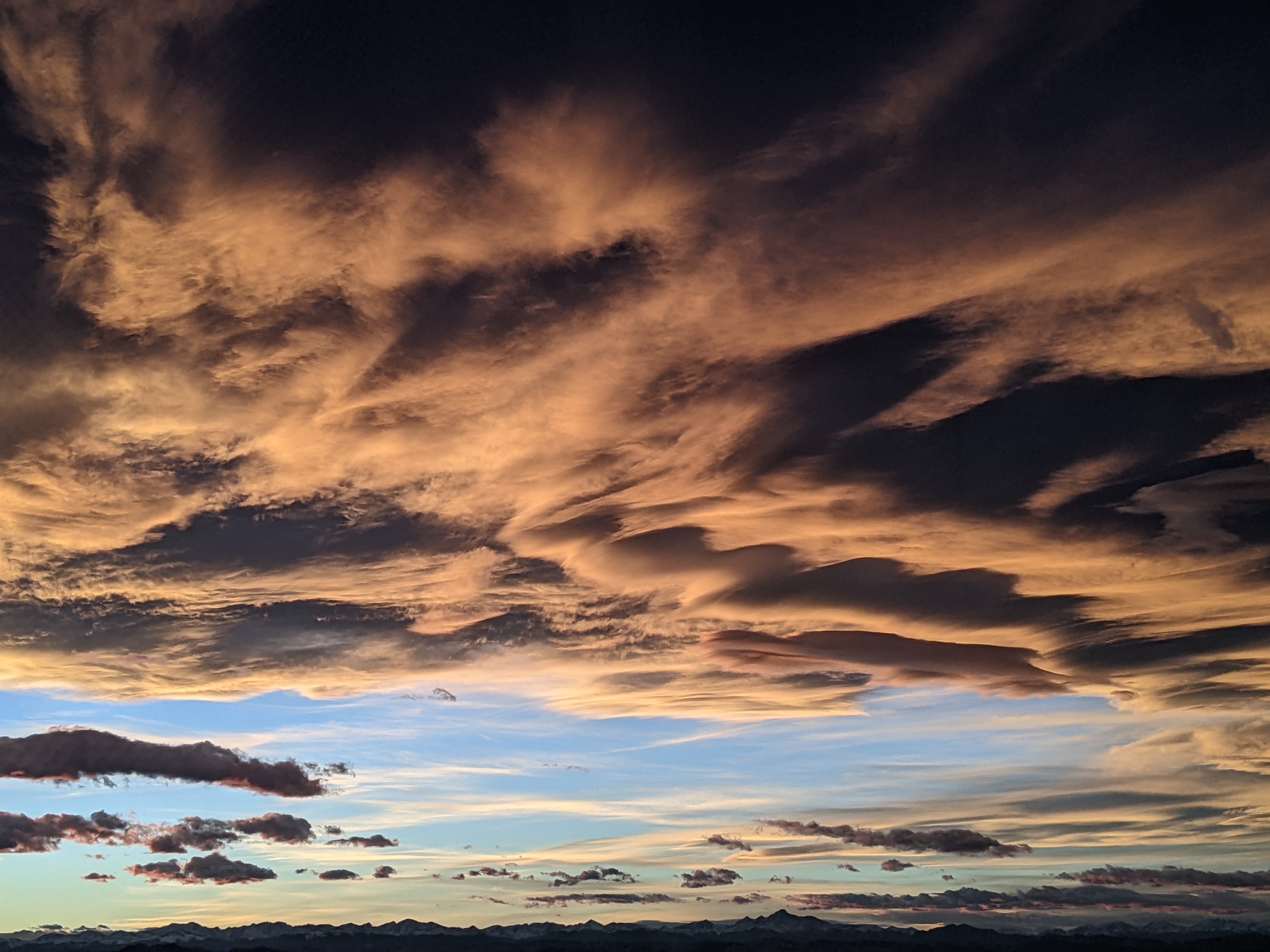
Storm disappoints this weekend, but more chances ahead
Saturday, March 1, 2014
The storm was just a bit too far east of us today to produce more than this morning’s rain in the valley and 2.5” mid / 3” top. In fact, it was a mostly sunny, but windy day as dry air right on the edge of the storm moved over us today.
As the storm moves eastward from southern California overnight and into tomorrow, current model trends have kept this storm further south, decreasing our impacts. We still have some cool air aloft tonight and through tomorrow. so I may expect 3-6” by tomorrow morning (with some of that falling this morning) with an additional 1-4” during the day tomorrow in continued showers.
Showers will diminish, but not completely end on Monday as additional weak waves in northwest flow travel over our area, and these continue but grow weaker on Tuesday. However, by Tuesday night some models show a more substantial but still quick-moving wave that may produce some significant snow for Wednesday morning.
A quick warm up with mostly sunny skies is forecast for later Wednesday into Thursday morning before another storm is forecast for late Thursday or Friday.
Add comment
Fill out the form below to add your own comments


