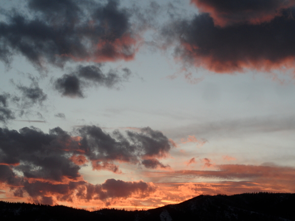
Snow showers give way to another round of persistent snowfall
Tuesday, February 11, 2014
Snow showers are currently ongoing up on the hill, though accumulations are very light. A moist wave in northwest flow increase the intensity a bit this evening, but only 1-4” are expected by Wednesday morning. However, another long-duration event is forecast to begin later in the day and will keep snows going through the early part of the weekend.
Snow showers will give way to more persistent snows in the afternoon or early evening tomorrow as another surge of moisture is carried over our area in generally northwest by the very moist polar jet stream. Temperatures are again expected to be warm, especially before atmospheric cooling increases early Thursday. I would expect 2-6” by Thursday morning, but periods of moderate to heavy snow during the day and night as an embedded wave approaches Thursday and passes through the area by early Friday. About 6-12” of snow are expected by Friday morning before snows decrease early in the day. However, they will ramp up again later in the day as yet another wave grazes our area that evening.
We may receive another 4-8” by Saturday morning at which point a transient ridge moves overhead, perhaps even revealing some sun. A very fast moving wave may again yield some snow showers by Sunday, but accumulation are expected to be light.
We should have a beautiful couple of days early in the workweek before another approaching storm makes landfall along the west coast around the middle of the week. This storm will be different than the previous two as southwest flow develops ahead of this digging system. Lot of uncertainty with this storm, but it may significantly affect our weather near the end of the workweek.
Add comment
Fill out the form below to add your own comments


