Snows ongoing for the next week, and likely beyond
Tuesday, February 4, 2014
Snows are forecast to continue for the next week, and long term models indicate an active pattern for much of February will follow this week’s accumulations.
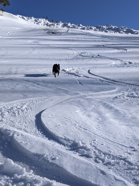
The Steamboat ski area reported 2” / 3” at mid/top this morning which fell during the day Monday and made yesterday’s skiing excellent. As of 11am, the updated report has an additional 1” / 7” (!!) at mid/top, so I expect continued great skiing today.
Snows will decrease by tomorrow morning after another 3-6” falls mostly this afternoon and into the overnight hours, leaving a 3-6” report at mid and a 8-12” report at the summit by Wednesday morning. Very cold air from Siberia captured in cross polar flow splits as it flows across Canada creating a broad zonal (east-west oriented) flow that keeps what is forecast to be an active polar jet stream near us. There may be little or no breaks in the snow as persistent light to moderate snowfall is projected to continue over our area Thursday, with 2-5” of snow forecast for Friday morning.
Lighter snowfall will continue early Friday before a well defined wave in moist and cool northwest flow increases snowfall rates by later in the day. This wave will bring a cold front with increased snowfall though the area early Saturday before snows taper off through the day and end by the evening. The timing of this cold front will determine when most of the snow falls, but I would expect 6-12” when both Saturday and Sunday morning reports are added.
Snowfall will pick up again Sunday as another wave embedded within the northwest oriented polar jet approaches. Cool air arrives later Sunday increasing snowfall rates further, and snowfall is expected to become heavy by Sunday night or Monday morning, and persist until Tuesday morning. We should do quite well from this pattern, seeing around 8-16” reported when both Monday and Tuesday’s reports are added.
Long term models keep a zonal polar jet with embedded disturbances over or near our area through at least mid-February keeping an active and more or less snowy pattern throughout.
Add comment
Fill out the form below to add your own comments


