Forecast for heavy snows still on track
Wednesday, January 29, 2014
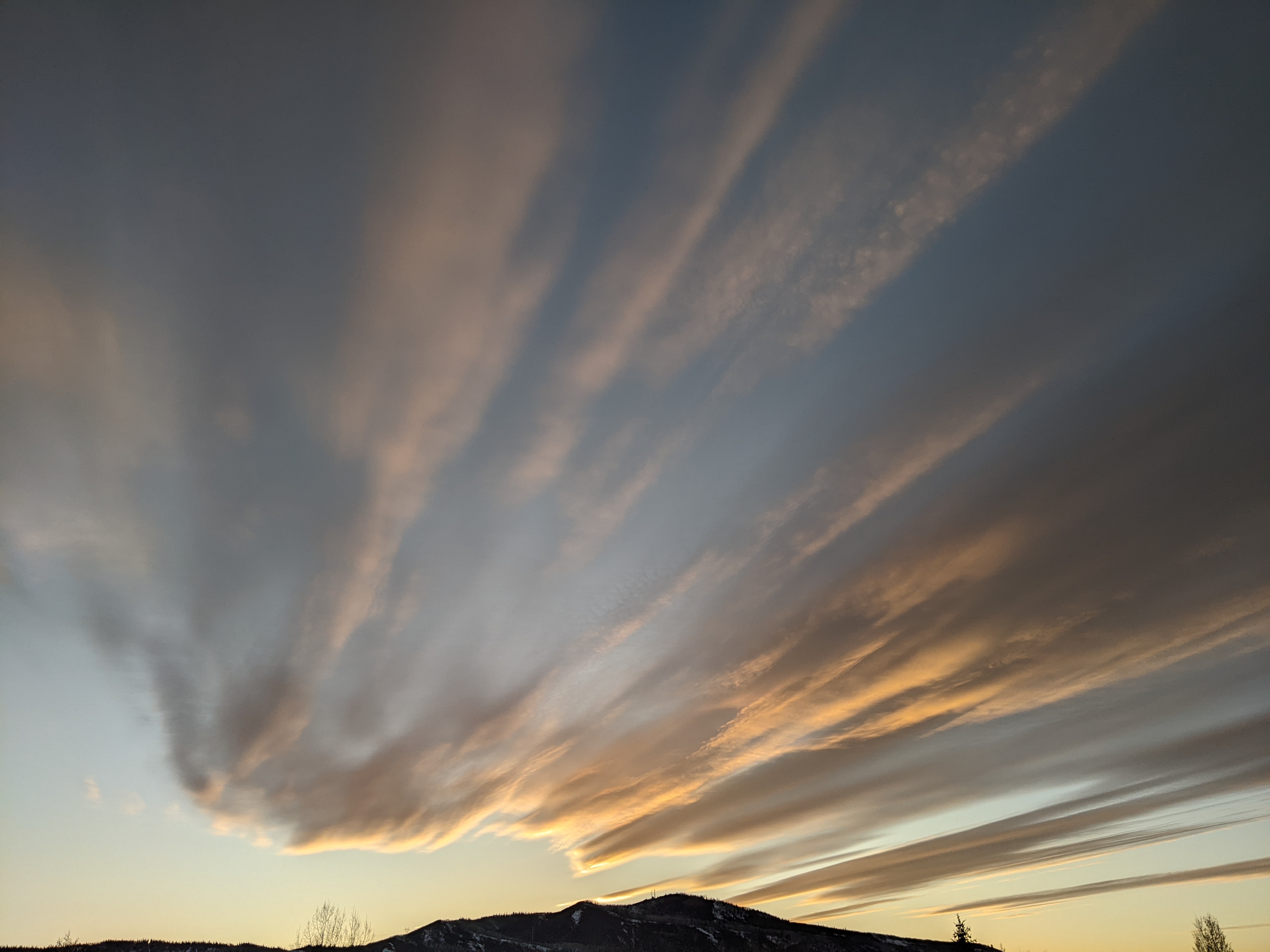
Clouds have overspread the region in stable flow this morning. The storm cycle is forecast to begin later this afternoon as cooler air associated with a cold wave dropping down the west side of the Hudson Bay vortex interacts with the Pineapple Express mentioned in my last blog. Light snowfall will give way to heavy snowfall around midnight that will persist through at least Thursday, creating 5-10” by the Thursday morning report and 8-16” by the Friday morning report, with some Steamboat Magic occurring between report time and opening time.
Current model trends have us in a break during the morning Friday as the first storm moves east of our area. Another Pacific wave in the Pineapple Express is forecast to slam into the northern California coast early Thursday, and this may affect our weather later Friday. Models are struggling with the northward extent of this second more southerly wave, and that will determine if heavy snows continue Friday afternoon and through the night.
If the Pacific wave stays far enough north, heavy snows will continue through the night Friday, producing another 6-12” by the Saturday morning report. Only light accumulations are expected by Saturday morning if the wave stays south of us.
During the weekend, the polar jet stream is forecast to buckle and drop a storm into southern California, backing our flow further to the southwest and eventually ending snows by late in the weekend as the storm stays south of Colorado.
The weather for next week is looking seasonably cool with only light snow expected for a few days around midweek as cold waves continue to rotate around the Hudson Bay vortex. It appears the cross polar flow mentioned in my earlier blogs will allow very cold air from Siberia to enter the North American continent around next weekend. Another storm cycle may develop if this air is far enough west to weaken a rebounding west coast ridge and allow more Pacific energy to undercut it.


