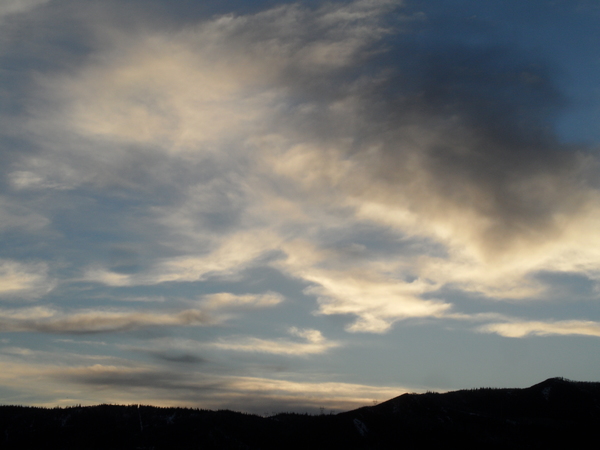
Winter storm begins this evening
Friday, January 3, 2014
A strong winter storm approaches the area today with clouds appearing later in the afternoon, and snow showers should begin in the cooling atmosphere by this evening. Periods of moderate to heavy snow should occur through Saturday as the main wave passes through. Snow should become more showery in nature behind the main wave, but at least two distinct reinforcing shots of cold air later Saturday and again later Sunday will keep sometimes heavy snow showers going through the weekend.
I’m a little concerned that the winds could turn westerly Friday night into Saturday and negatively affect the snow quality Saturday morning, but the flow does turn northwest later in the day. Furthermore, unlike the New Years storm, we should have cooling or static temperatures during the entire event which will limit the wind speeds and minimize the damage westerly winds usually cause at Steamboat.
I would guess around 3-6” of wind affected snow by the Saturday morning report. Westerly winds should turn northwesterly by the afternoon as snow showers continue, especially around another surge of cold air currently timed for around sunset. An additional 3-6” of very light and fluffy powder is expected by the Sunday morning report as snow densities fall below 5%. Winds from the northwest will pick up again later Sunday as the last surge of cold air enters the area. Snow showers will end by midnight Sunday after another 3-6”, which will be reported Monday morning.
A series of weak and disorganized Pacific waves move across the area or split around the area beginning midweek, and I expect much milder temperatures and at least some snow from these. Snow may begin late Tuesday or Wednesday and continue to the end of the workweek as a couple of these waves influence the area. Current model solutions have a break next weekend before another storm is forecast sometime late Sunday or early Monday.
Add comment
Fill out the form below to add your own comments


