Snow ends this evening with dry weather to follow
Tuesday, December 24, 2013
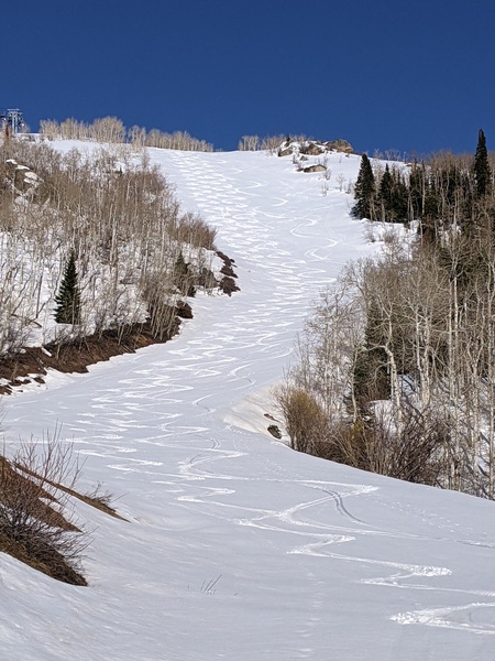
The well advertised wave moving through northwest flow did not begin to affect our area till around 4am this morning. We had a burst of snowfall between around 9-10am that was falling at several inches per hour, and another band looks to cross the area later this afternoon. The snow that fell earlier was relatively dense, and with some round graupel particles mixed in, the snow should fill in the tracks on the hill nicely. Temperatures should be falling through the day and hopefully we can get some accumulating snow crystals called dendrites to add a layer of light and fluffy powder for later today. I expect outstanding skiing on the hill today as the storm passes through.
If skies clear tonight, it could be a chilly start to the day tomorrow, although it should be a brilliantly sunny day. A dry wave passes Thursday and that may knock temperatures down a few degrees before they rebound to produce unseasonably warm weather by Friday. Valleys will likely stay cool as temperature inversions reform and persist over the the fresh snowpack.
Another weak wave to our north that grazes the area on Saturday will create more seasonable temperatures that look to last into and possibly through the next work week. Models are struggling with the forecast for the following weekend as one flattens the ridge in the Gulf of Alaska possibly leading to some weather for our area while another rebuilds the ridge and keeps us dry.
Add comment
Fill out the form below to add your own comments


