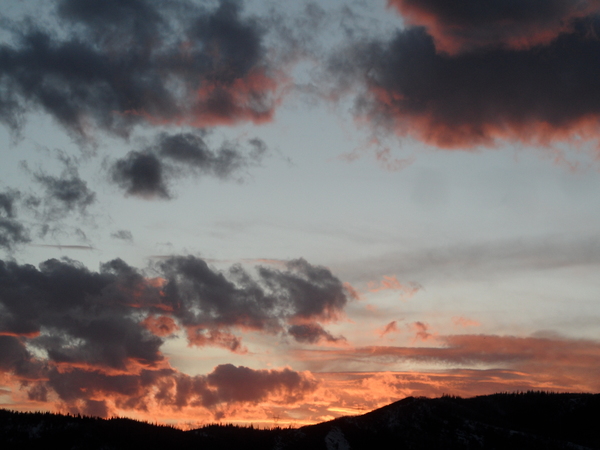
More snow through Tuesday
Sunday, December 22, 2013
About 2” on my deck this morning from about 9pm last night, although the Steamboat ski area reported 7.5” at mid and 8” up top on the morning report. A ridge over the Gulf of Alaska is forcing moist northwest flow over our area, and embedded waves will continue to produce light snow through today and most of tomorrow. One such wave is currently moving through the area, and another is timed for tonight, with both producing another 5-10” by the Monday morning report.
Snow showers may taper off by the end of the day Monday before beginning again early Tuesday as the last wave in this series passes over the area midday. Only light snow is expected, and the fast movement of this last wave should only produce 1-3” by Wednesday morning’s report.
Warming and drying should commence Christmas Day and last into Thursday, though valleys become noticeably colder than the hill as inversions reform and strengthen. A dry and weak wave grazes our area on Friday, producing some clouds and slightly lower temperatures. Weather will turn nice again for at least the first part of the weekend before another storm is forecast around Sunday.
Add comment
Fill out the form below to add your own comments


