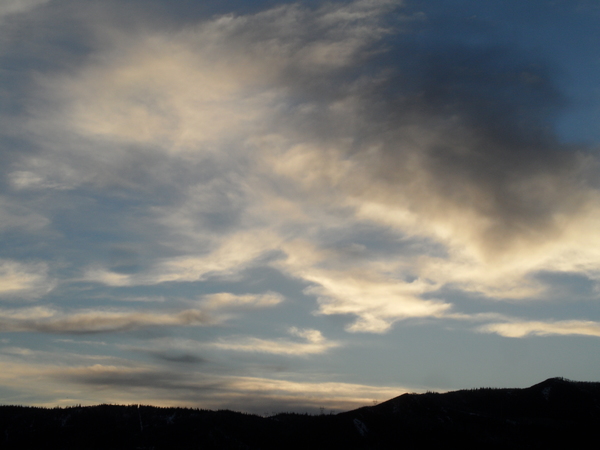
Warm front stronger than expected and will delay snows till Friday
Thursday, December 19, 2013
A storm along the southern California coast has created southwest flow over our area that has pushed a cold front to our north today. However, this cold front is forecast to slip into our area later today or tonight, and may produce some snow as the southwest flow aloft overruns the front. It appears that weak northwest flow will develop behind the front sometime on Friday leading to a better chance of accumulating snows in the 2-4” range by the end of the day.
As the California low moves along the Mexican border and eventually east of us by Saturday, unsettled weather with persistent snow showers will continue through Saturday and Sunday. Furthermore, additional waves of energy in the northwest flow will help to intermittently intensify the showers, though amounts are still expected to be light. I would expect 2-4” each day of the weekend before the skies clear by mid-day Monday.
A nice day Tuesday before another wave form the northwest is expected by late in the day or Wednesday, though current model forecasts have only light snow predicted. Yet another dry wave is expected to drop temperatures a bit later in the work week, but no precipitation is currently forecast with this wave.
It appears a significant pattern change is lurking in the extended forecast period sometime around the new year, but global numerical models are having a tough time predicting the details. As always, stay tuned for developments!
Add comment
Fill out the form below to add your own comments


