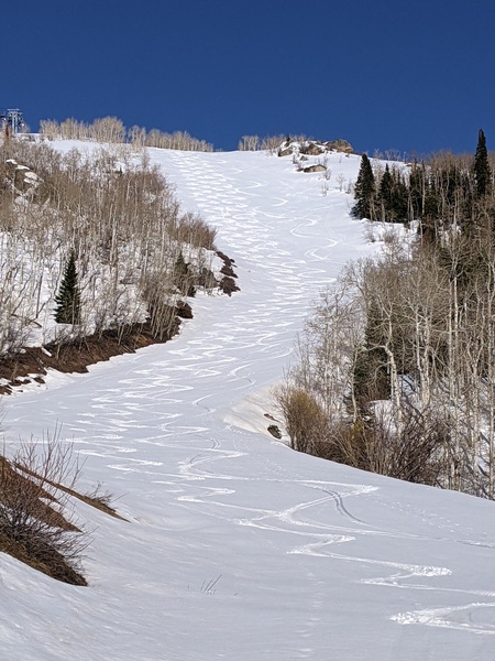
Temperatures dropping rapidly as storm moves through
Sunday, December 8, 2013
Most of the remaining part of the storm is currently moving through the area as temperatures up top have dropped from 0F at 5am to -7F at 8:30am as light snow continues. Temperatures will likely continue to fall or remain this cold until tomorrow morning when a trailing wave finally pushes the coldest part of the storm east of the area. Snow showers on the hill will likely continue until tomorrow afternoon, though additional accumulations after noon today will be minimal due to the very cold temperatures and drying airmass.
Another grazing wave in northwest flow will keep temperatures cold and start light snow showers on the hill again during Tuesday afternoon and evening. There should be some warming on the mountain slopes by Wednesday, but it will be most noticeable on Thursday as the trough that had been sitting over the western part of the US moves east. Mountain valleys, on the other hand, are likely to remain cold as strong inversions develop and persist.
Models currently forecast a weak storm for the following weekend. A flat ridge looks to build in the Gulf of Alaska which may shunt Pacific energy to our north and create mostly dry conditions after that.


