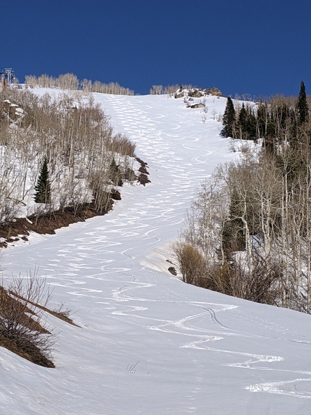
Winter-like storm will bring snow through Wednesday
Sunday, November 3, 2013
The complex and winter-like storm will consist of three waves of energy, bringing unseasonably cold air to the area by late Tuesday. The first weak wave grazes the northern portion of Colorado tonight, bringing light to moderate precipitation to the area by Monday morning.
After a break early in the day Monday, light precipitation will begin again by the late afternoon and grow heavier as upward motion from the main part of the storm still situated to our west begins to affect the area.
While earlier forecasts had forecast a split tin the wave, current models indicate the wave moving bodily through mid-day Tuesday. As a result, the bulk of the precipitation will fall overnight and snowfall will be decreasing during the day. Temperatures should fall to the coldest levels of the season as skies clear behind the main part of the departing storm.
Wednesday will be cold with our area susceptible to showers in the cold, but rapidly drying northwest flow as a trailing wave moves over the area.
A building ridge should produce a beautiful Thursday. The storm for next weekend looks to be weakening and accelerating so that only light showers are expected on Friday. Seasonal temperatures and dry weather is forecast for the weekend.


