Winter weather to return starting Tuesday
Sunday, February 15, 2026
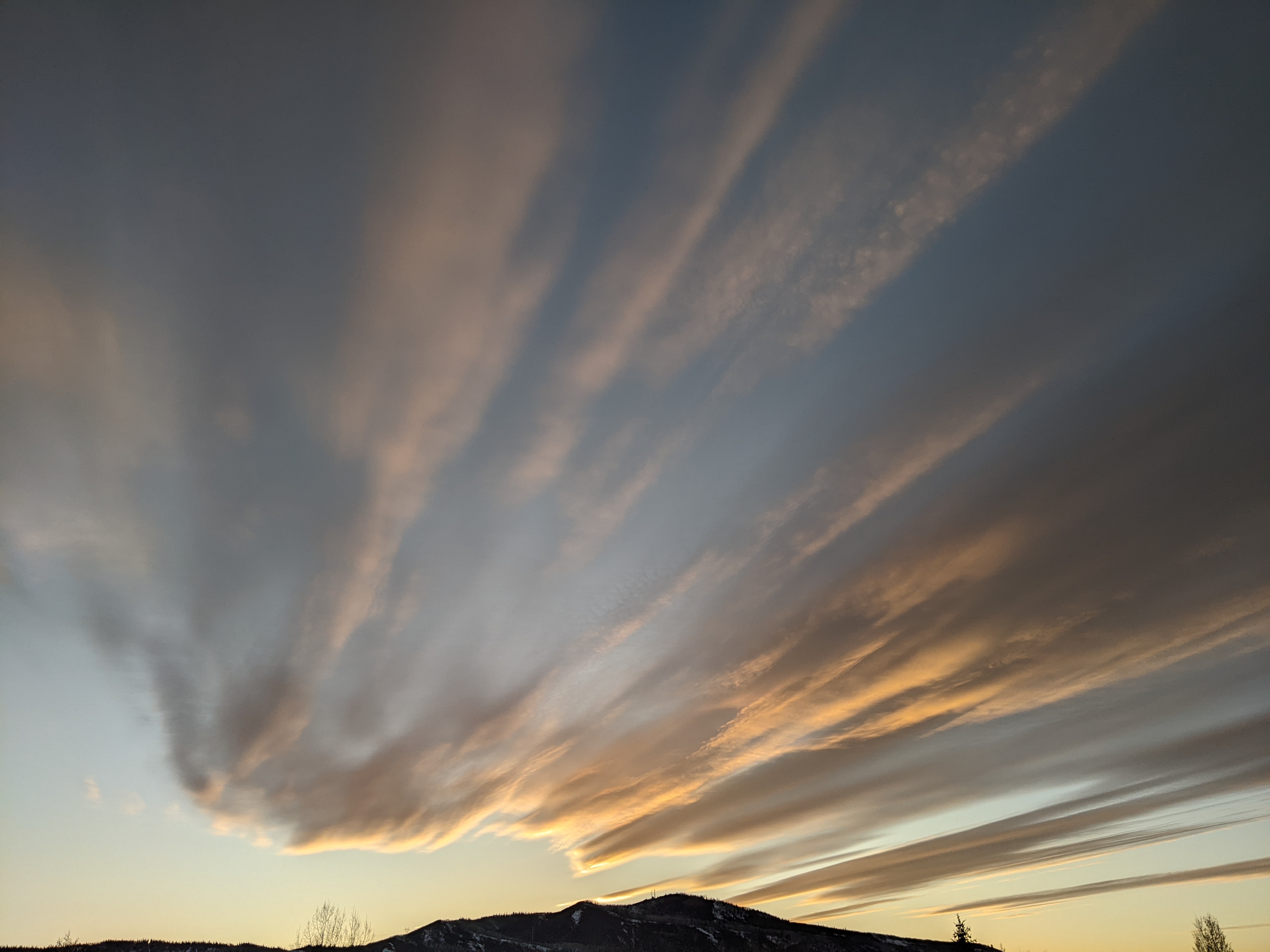
Some sun is filtering through high clouds this Sunday at noon in Steamboat Springs, with temperatures in town at 35 degrees, on the way to the mid-forties, and 25 degrees near the top of the Steamboat Ski Resort. The clouds are in advance of a strong storm system that will bring proper winter weather back to our area starting on Tuesday and lasting through the workweek, replete with high winds, sharply falling temperatures, and one to two feet of mountain snowfall.
An eddy of low pressure incorporating an atmospheric river from just north of Hawaii has formed off the northern California coast, while a wave of energy slides down the British Columbia coast. This wave will ingest frigid air rotating southwestward through western Canada and strengthen, interacting with the eddy on Monday and forcing it eastward across central California.
These two systems will provide a one-two weather punch for our area, the first on Tuesday as the former eddy moves across, and the second, later Wednesday, when most of the trailing storm follows. Snowfall will continue between and after these storms, lasting from Tuesday morning through Thursday morning, with additional, but likely lighter, snowfall on Friday.
Ahead of the storms, pleasant weather with high clouds and filtered sun will be with us today and on Washington’s Birthday, with high temperatures today in the mid-forties, well above our 34-degree average, and around 50 degrees on an even warmer Monday, despite the clouds.
Precipitation should break out after midnight on Monday, with a rain-snow mix in town changing to snow Tuesday morning. There may be some snow for the mid-mountain morning report, and an additional 1-4” during the day with high temperatures in the low-twenties as the first storm passes overhead. Unfortunately, this will be accompanied by strong westerly winds gusting to as high as 70 mph, possibly affecting lift operations.
Another 3-6” could fall overnight, leaving 4-10” of snowfall for the Wednesday morning mid-mountain ski report. Winds will decrease but remain quite strong, with 50 mph gusts possible and high temperatures falling into the upper teens, along with another 3-6” of new snow.
Meanwhile, the second storm will be forced eastward on Wednesday by an upstream wave now rounding a ridge of high pressure over the Dateline, taking a similar track and eventually bringing additional snowfall to our area on Friday.
So snowfall will continue Wednesday night, possibly becoming heavy at times as a strong cold front associated with the second wave moves through. Combined with the snow during the day on Wednesday, we could see 6-12” reported at mid-mountain by Thursday morning, with more, as usual, up top. Winds will decrease but still remain breezy, and high temperatures up there may not make it out of the single digits, with high temperatures in town finally below average and in the mid-twenties.
There may be a break in the snowfall on Thursday afternoon as a shallow ridge of high pressure builds behind the departing storm and ahead of the final wave. There is some uncertainty regarding snowfall amounts, which could be in the 3-6” range, though not the cold air, as high temperatures will be similar on Thursday, Friday, and a likely sunny Saturday.
Enjoy the mild weather through Washington’s Birthday, and the recalcitrant winter weather that follows, and I’ll have more details on what is looking like a beautiful weekend in my next regularly scheduled weather narrative on Thursday afternoon.


