Pleasant workweek to follow another mostly dry grazing cold front tonight
Sunday, January 18, 2026
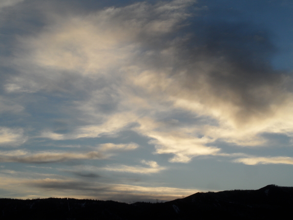
Brilliant blue skies and temperatures in the upper teens at all elevations are over Steamboat Springs this Sunday at noon. Similar to Friday and Saturday, another mostly dry but warmer cold front will graze our area tonight, bringing clouds and some snow showers, with little accumulation expected. Afternoon sun and cooler temperatures will follow on Martin Luther King Jr. Day, ahead of a mostly sunny workweek with slightly warmer temperatures. The next chance for precipitation may appear at the end of the workweek, with uncertainty high for the weekend.
A ridge of high pressure persists over the West Coast along with its counterpart, a deep and cold trough of low pressure extending from the North Pole south through the Great Lakes toward the Gulf Coast. Pacific waves of energy have been traveling over the ridge, ingesting frigid and dry Arctic air, and moving down its eastern side.
A couple of these grazed our area on Friday and Saturday, with another one bringing clouds and some light snow showers tonight into Monday morning, with meager accumulations expected. Despite the afternoon sun, high temperatures in town should decrease by around five degrees from the mid-thirties today to around thirty degrees on Martin Luther King Jr. Day, right around our now-slowly-increasing average of twenty-nine degrees.
Pleasant workweek weather will be uneventful, with mostly clear skies and high temperatures rising to the upper thirties, and low temperatures falling to the single digits, around our average of five degrees.
The West Coast ridge of high pressure has kept significant snowfall away from our area for a week now, and that won’t change until the end of the workweek as several Pacific storms work their way under, through, and over the ridge. The evolution and track of these storms, and their interaction with the ridge, lead to an uncertain forecast starting at the end of the workweek.
Weather forecast models have settled on the leading Pacific storm weakening and splitting as it plows into the ridge, with the southern end forming an eddy early in the workweek, well off the coast of California. At least some of the northern branch will travel through the ridge, reaching our area around Friday and bringing a chance of snow, though amounts don’t look impressive at this time.
Uncertainty then follows for the weekend and the following workweek as the eddy moves eastward, as its speed and trajectory keep changing in the model forecasts. Furthermore, it is unclear if the ridge is vanquished or rebounds, further complicating additional interactions between the eastward-moving eddy to the southwest, possible Pacific energy from the west, and any cold air from the north.
Enjoy the pleasant workweek, and I’m sure to have more details on the coming pattern change in my next regularly scheduled weather narrative on Thursday afternoon.


