Warm and dry conditions continue to start the workweek

Sunday, October 13, 2024
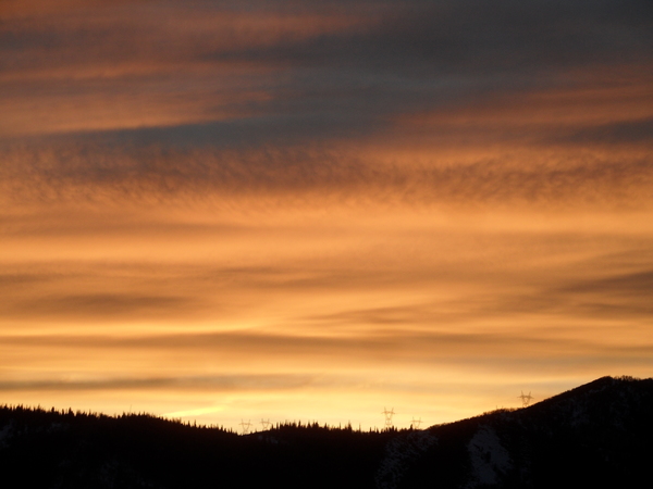
Skies have turned sunny this Sunday noon in Steamboat Springs with temperatures in the low-sixties, again on their way to the low-seventies. The warm temperatures will continue through midweek with passing afternoon clouds most likely today and Monday before better moisture arrives Wednesday afternoon along with increasing winds and chances for showers. A strong winterlike storm will then approach our area after midweek with its track and timing still very uncertain.
An eddy of low pressure over Nevada is trapped underneath a ridge of high pressure extending over much of the West as a large and powerful storm evolves between the Dateline and the Gulf of Alaska. Moisture drawn northward ahead of the eddy may lead to some passing clouds through Monday, especially during the afternoons, but precipitation chances are near nil thanks to the stable atmosphere under the ridge and the dry lower atmosphere.
High temperatures through Wednesday will stay in the low-seventies, almost fifteen degrees above our average of sixty degrees as the Nevada eddy drifts into Arizona. But big changes are coming as the strong Gulf of Alaska storm crosses the Pacific Northwest coast on Wednesday. The Arizona eddy will be forced to the northeast and over our area later Wednesday, leading to thicker afternoon clouds bearing shower chances and increasing winds from the southwest.
Winds will increase further on a still-cloudy Thursday as the incoming storm moves into the Great Basin. At this point, there is still major disagreement between the weather forecast models, with the American GFS insistent that the storm will split early Friday and the European ECMWF just as insistent the storm will move across our area. The guidance highlights this uncertainty with high temperatures on Friday ranging between 41 F and 65 F in town and between 26 F and 45 F near the top of the Steamboat Ski Area!
Some sort of compromise solution usually reconciles such a large disagreement in potential outcomes, but in either case the cold air and at least some moisture eventually moves through the area, perhaps by Friday or perhaps later during the weekend, or both. Significant snow is possible at the higher elevations, with even accumulating snow advertised in town in some of the solutions.
So enjoy what seems like the endless mild fall weather more representative of mid-September than mid-October to start the workweek, and check back for what should be a very interesting weather narrative on Thursday afternoon for more details on this potential winterlike storm.


