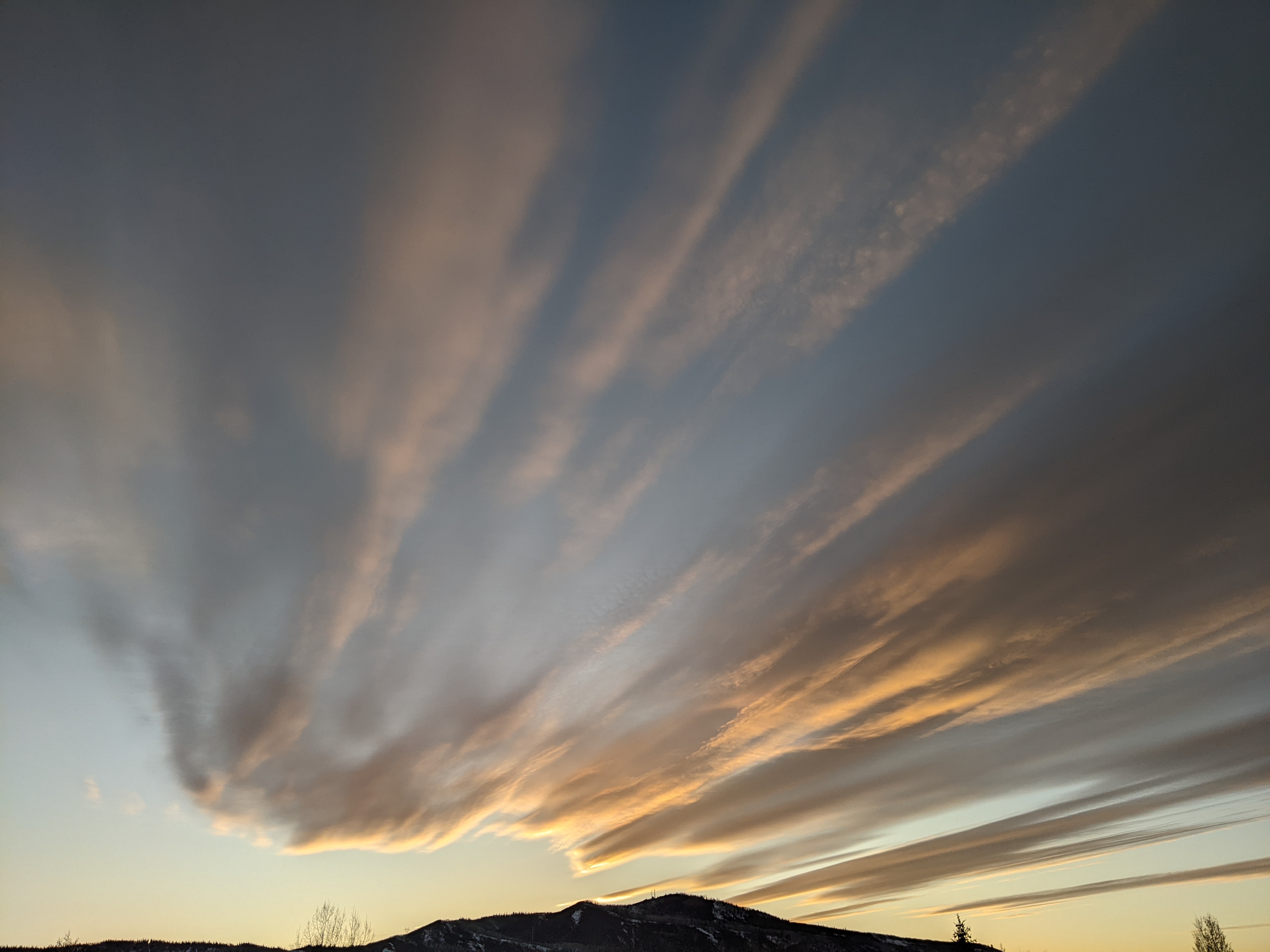
Pattern change brings snow this weekend
Thursday, December 11, 2014
The current stretch of warm and dry weather looks to change by mid-weekend as a splitting storm currently pummeling California moves eastward. Another nice day on Friday will be followed by increasing cloudiness on Saturday as the storm enters the Great Basin. Precipitation for us may start as early as Saturday afternoon, or may hold off till later Saturday night or early Sunday morning.
The strongest part of the storm will pass to our south, but we should do well in the cool and moist northwest flow behind the main energy center of the storm during the day Sunday. Furthermore, models now have a portion of the northern part of the split storm hanging back over southern Idaho or southwestern Wyoming and enhancing snowfall again by late Sunday night or Monday morning.
Forecasting snow amounts is difficult due to the strongly evolving nature of this storm, but currently I would expect only light snowfall in the 1-4” range to be reported Sunday morning. Periods of moderate to sometimes heavy snowfall will likely occur during the day Sunday and overnight, leading to accumulations of 5-10” by Monday morning. And additional 1-4” will likely fall during the day Monday to be reported Tuesday morning.
After a break Tuesday, the progressive forecast from the American GFS model last week wins out over the forecast from the European ECMWF. Interestingly, this is the second time the this winter the GFS showed superior skill in the medium range, and is something to take note of moving forward.
The progressive forecast moves another splitting storm over our area by midweek. Again, there will be uncertainty with respect to snowfall amounts, but the storm will likely peak around later Wednesday before exiting the area on Thursday. And the storm train will continue with another similar wave timed for the following weekend.


