Classic spring weather to last through midweek
Sunday, April 21, 2024
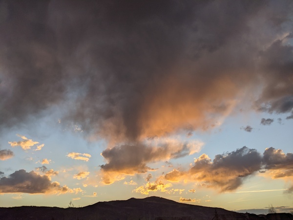
Temperatures are in the mid-thirties in Steamboat Springs and upper twenties near the top of the Steamboat Resort under brilliant blue skies this Sunday mid-morning. Classic spring weather has arrived for Closing Day today and will last through midweek ahead of a pattern change that will bring unsettled weather back to our area for the end of the work week and the coming weekend.
The Steamboat Resort will close today with a base of 60” at mid-mountain and 108” up top after receiving a season total of 389” of snowfall at mid-mountain. Curiously, the resort does not publish the upper-mountain season total which certainly is far higher. And interestingly, even though the 389” fell short of the 448” received last season by over four feet, we enjoyed six days of a foot or more reported at mid-mountain this season, compared to only two last season!
 I’ve attached an updated chart of the water stored in the Yampa-White-Little Snake basin snowpack in black which includes the measurements from the 2015-2016 season in red, which water managers say is thus far very similar to this year. The upper blue and lower red lines show the aggregated maximum and minimum snowpack measurements since the 1985-1986 season. Interestingly, the 2015-2016 season shows a couple of storms in late April and early May, and it looks like at least that first storm cycle may be repeated this weekend.
A ridge of high pressure is currently over most of the West while a compact storm is centered over Vancouver. Our weather will be quite pleasant today, with a high temperature around sixty degrees, which is about five degrees above our average of 56 F. Even warmer temperatures in the mid-sixties are expected for Monday, though afternoon winds will be increasing ahead of the Vancouver storm which is forecast to travel along the Canadian border and graze our area.
There may be some showers overnight Monday, with temperatures falling back a few degrees Tuesday as the cool front associated with the storm grazes our area. Light showers will be possible from Tuesday afternoon through the overnight thanks to some moisture and weak energy trailing the storm.
Meanwhile, a storm currently over the Aleutians is forecast to split, with the southern end forming a weak eddy that crosses the southern California coast later Wednesday. A ridge of high pressure ahead of the storm is forecast to bring the warmest day of the week on Wednesday with high temperatures approaching the upper sixties.
That storm is forecast to move through Colorado later Thursday with showers likely by the end of the day. This will mark the beginning of a cool and wet period that looks to last through the weekend as additional Pacific energy moves through the West. So enjoy the classic springtime weather through midweek, and be sure to check back to my next regularly scheduled weather narrative on Thursday afternoon for the latest details on the coming weekend weather.
Add comment
Fill out the form below to add your own comments


