Wintry weather arrives tonight
Thursday, May 19, 2022
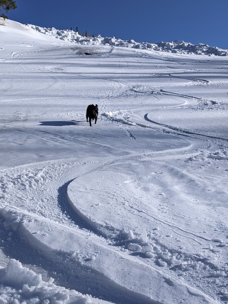
Temperatures are in the low seventies under partly sunny skies and winds are ripping out of the southwest this Thursday mid-afternoon in Steamboat Springs ahead of a very strong cold front timed for tonight. We’ll wake up to snow on Friday morning and see afternoon high temperatures over thirty degrees below today! And with more snow into Saturday and continued cold temperatures, this weekend will feel more wintry than summery.
A storm that had been developing this week in the Gulf of Alaska has been pushed eastward by a building ridge of high pressure that has taken its place, and is currently moving across the Pacific Northwest. Cold air has been pouring into the storm from both western and central Canada, leading to the current very windy conditions as air is accelerated between the very cold airmass to our northwest and the very warm airmass to our southeast.
A strong cold front is forecast to pass through our area tonight, with the leading edge of cold air arriving this evening. A number of disturbances will reinforce the storm through the weekend and the beginning of the work week, so don’t expect a quick recovery back to our current summery weather.
While the Front Range, and more so the foothills, will see the brunt of the snowfall, we should wake up to some snow on the non-paved surfaces down in town Friday morning, with snowfall tapering off later in the morning and afternoon before picking up again Friday night. And expect unseasonably cold temperatures through the weekend, most pronounced on Friday as temperatures struggle to get much above 40 F, which is 25 F below our average of 65 F.
The cold unsettled weather will stick around on Saturday, and though we may see showers, especially in the afternoon, the bulk of the accumulating precipitation should be over by Saturday evening. We could see 2-5” of accumulated snowfall in town and 5-10” at the top of the Steamboat Ski Resort, which can be examined through the Steamboat Powdercam and Steamboat mid-mountain Powedercam. If skies clear or even partially clear Saturday night, look for low temperatures five to ten degrees below our average of 34 F.
Temperatures should recover into the fifties on Sunday, though the unsettled weather looks to stick around through the beginning of the work week as another two disturbances are forecast to rotate through the area of low pressure over the West. Weather forecast models disagree on the timing and amplitude of these additional disturbances, but showery weather currently looks possible from Sunday afternoon through Tuesday, albeit with slowly warming temperatures. Lot’s of weather to get through before then , so stay tuned to my next regularly scheduled weather narrative on Sunday afternoon where I’ll have more details on next week’s weather.


