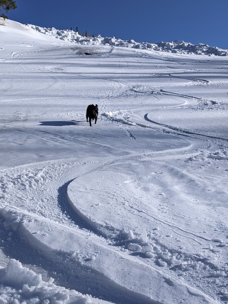
Mostly dry this week with a chance of snow for Wednesday
Sunday, February 25, 2018
The very active weather experienced in Steamboat Springs for the month of February looks to take a break to close out the month after the Steamboat Ski Area received over 16” of snow at mid-mountain since the start of the storm cycle last Wednesday.
The current unseasonably cold temperatures will warm a bit from yesterday, though stay cold even as we see sun this Sunday afternoon.
After a chilly Monday morning, much more noticeable warming will occur by Monday afternoon, especially at the higher elevations, as our flow backs from the northwest to west and eventually southwest ahead of the next storm, currently moving southward from the Gulf of Alaska.
This storm looks weak and disorganized for northern Colorado as it splits Monday night while moving first southward along the West Coast and then eastward. We do get a weak cool front that passes through our area on Wednesday from the northern branch of the split, but moisture is sparse, especially in the northwest flow behind the front. The best snows are currently forecast to occur south of us with the southern portion of the split, with 1-4” of snow possible over our area during Wednesday. That forecast is uncertain, however, as the partitioning of energy between the northern and southern pieces of the storm, and the proximity of the southern piece of the storm, can still change over the next few days.
In any event, after a chilly Thursday morning, temperatures will warm for Thursday and Friday as the flow once again backs to the southwest ahead of another bigger and stronger storm moving southward from the Gulf of Alaska. However, while this storm starts strong, current weather models have the source of cold air in western Canada splitting into several pieces, and this weakens the storm as it heads westward near the end of the work week across the northern tier of the United States.
Weather models are struggling with the evolution of this storm as it moves by northern Colorado around next weekend. Right now, snow showers are advertised for Thursday as some energy and moisture ejects out of the storm with some drying for Friday. While the American GFS has some accumulating snows for our area over the weekend, the European ECMWF is wetter and stronger with the storm, offering a more encouraging snow forecast. More details should emerge by my next forecast on Thursday.
Want to instantly improve your skiing? Then you’ll want progressive flex in your ski boot, and the Booster Power Strap delivers by elastically fastening together the lower leg and the ski boot. You get direct ski control so skis start turning sooner and end the turn faster.


