Closing Day showers followed by another midweek storm
Sunday, April 14, 2019
Sunny skies are gracing the Steamboat Springs area this Sunday morning, which is also Closing Day for the Steamboat Ski Area. We’ll see a good chance of showers today after noon with less of a chance Monday before another strong Pacific storm approaches on Tuesday and brings more significant precipitation on Wednesday and Thursday. Warming and drying are then expected heading into and through the first half of next weekend.
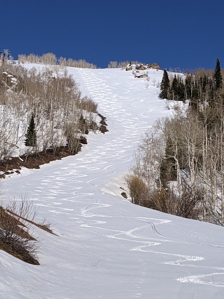
After three remarkable days of mid-winter powder skiing in mid-April, Closing Day will bring a mix of sun, clouds and showers as northern Colorado is clipped by a passing storm to our north. The showers will persist through midnight or so, especially at the higher elevations, where 2-5” of snow could fall that would be reported Monday morning if the ski area was still open.
Monday looks to be a precipitation-free day, though showers just to our north may encroach on our area. Temperatures finally approach our average of 53 F after a stretch of days with high temperatures ten to fifteen degrees below that.
Meanwhile, a strong Pacific storm currently crossing the Gulf of Alaska makes landfall late Monday and starts showers in our area by later Tuesday as it crosses the Great Basin. However, the storm is expected to split Tuesday with the southern end diving toward the Desert Southwest and the northern half racing eastward across the northern Rockies.
Snowfall will pick up behind a cool front Tuesday night and persist through Wednesday as the storm travels eastward along the Colorado/New Mexico border. Another colder Pacific wave of energy and moisture moving over a building ridge of high pressure over the West Coast is forecast to slide down the backside of the Wednesday storm and bring less dense and fluffier snowfall Wednesday night through the day Thursday in favorable cool, moist and unstable north to northwest flow.
By Friday the ridge of high pressure over the West Coast moves inland, bringing drying and significant warming for Friday and Saturday. A weak storm may or may not be close enough to our area for warm showers on Sunday, after which an active spring storm track brings more precipitation back to our area for the following week.
Stop battling cold feet! I’ve used the awesome Hotronic foot warmers from their beginnings, and can honestly say that each iteration of the product is better than the last. I have the S4 custom, attached to my powerstrap so they never fall off, and my toes stay warm for my entire ski day.


